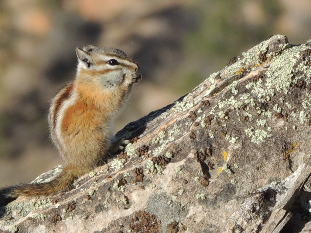
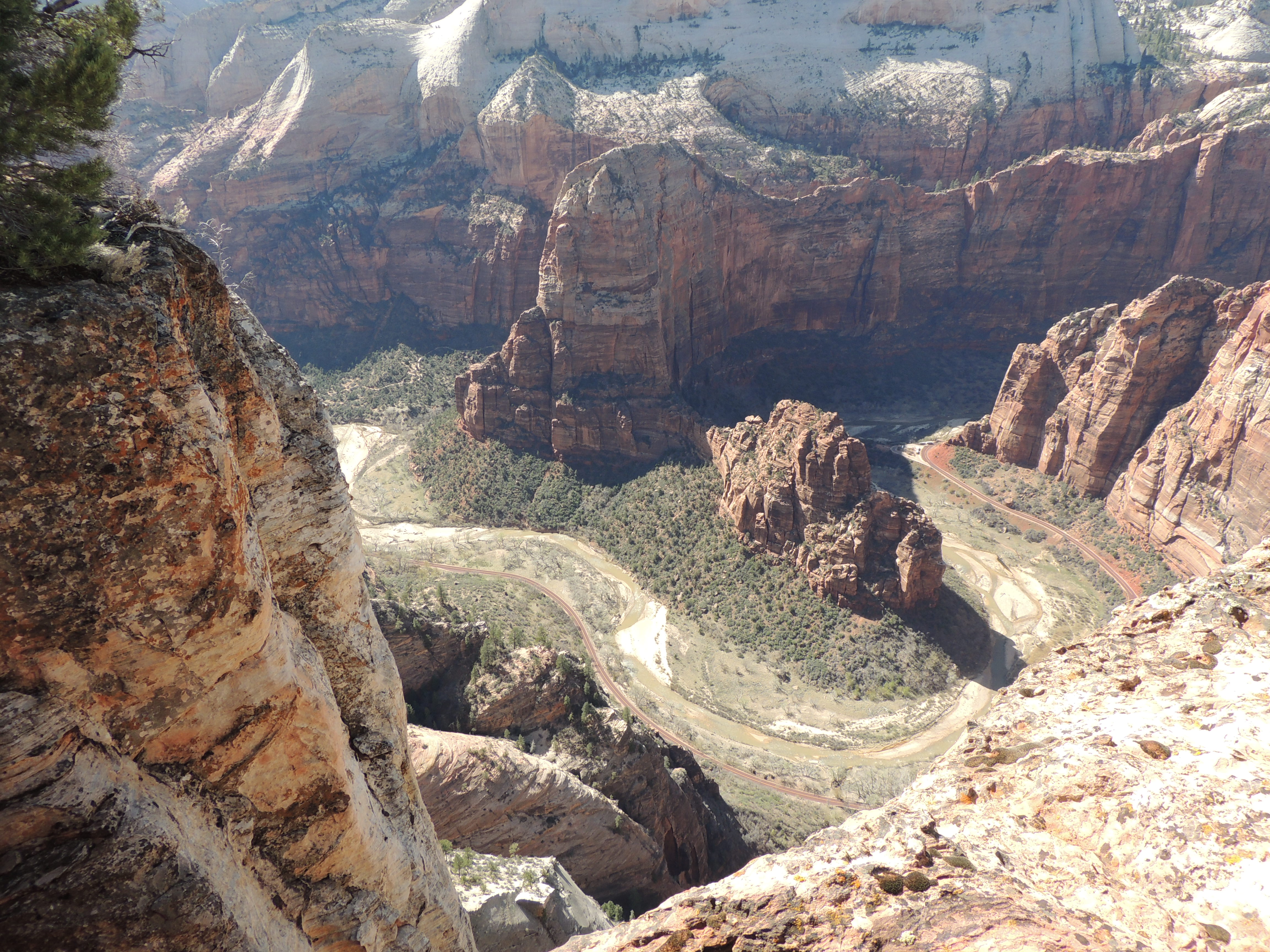
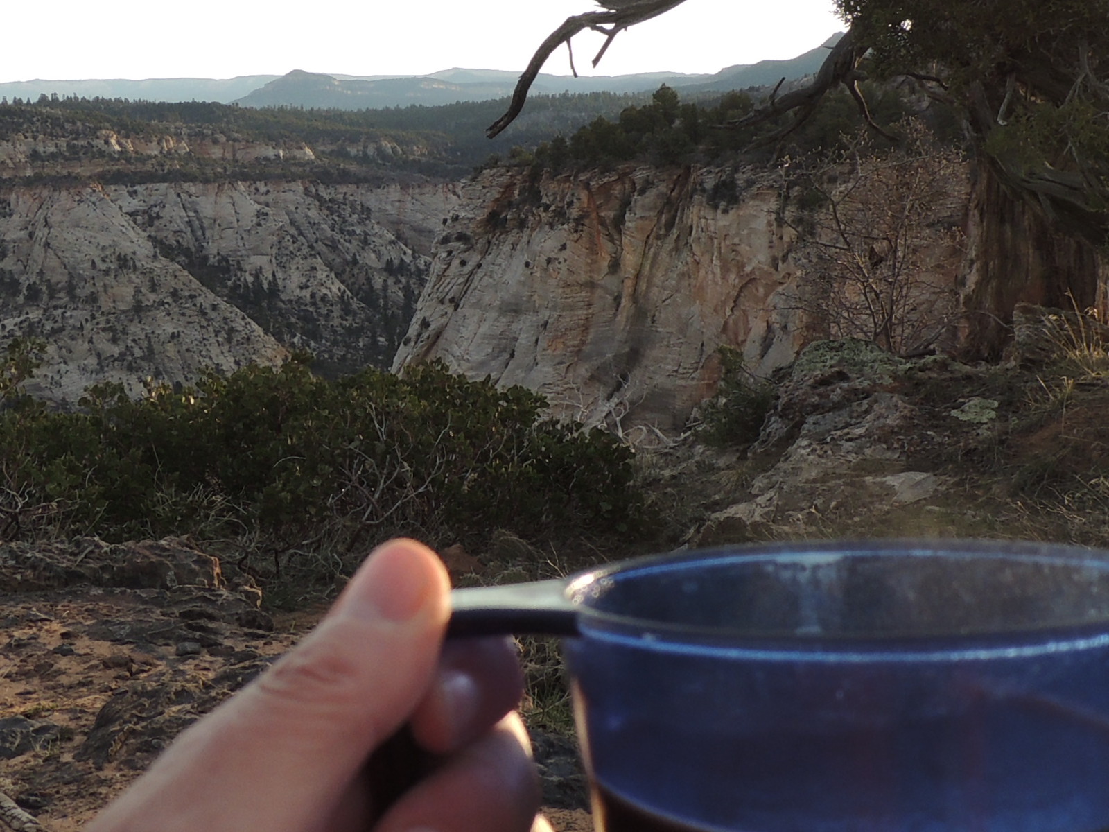
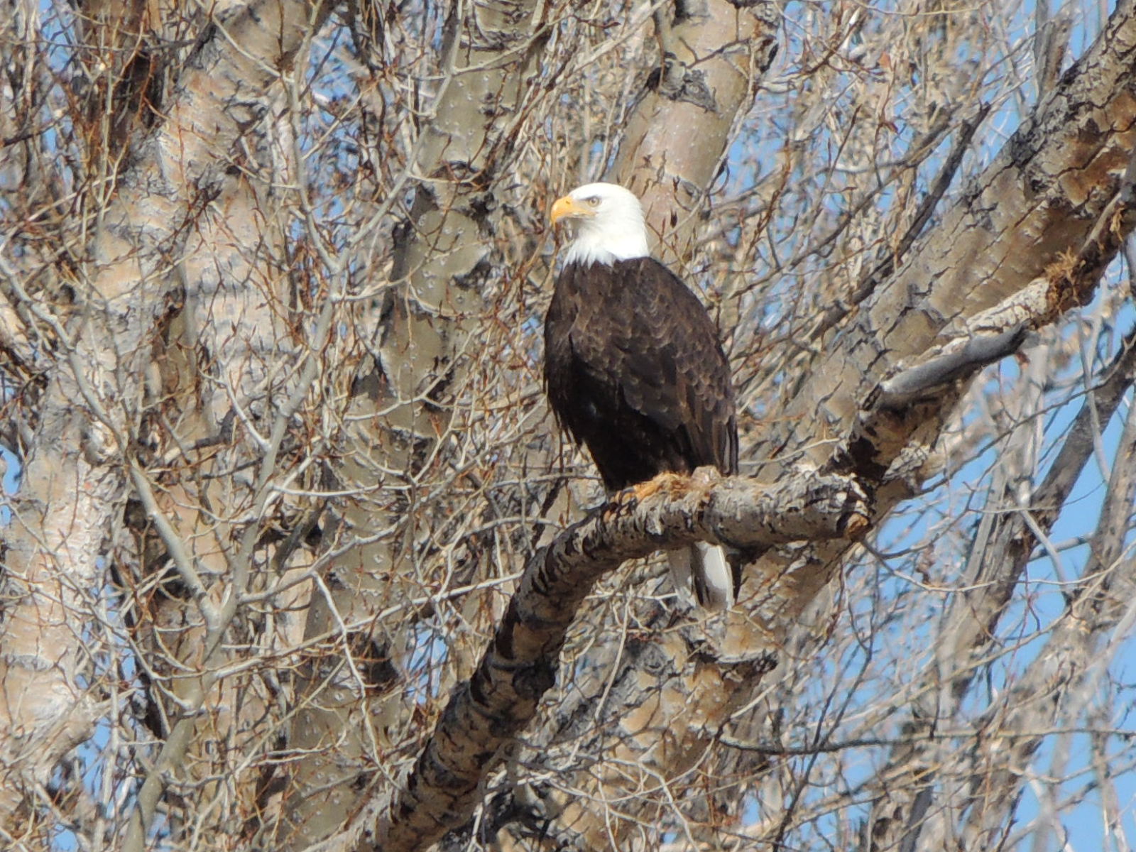
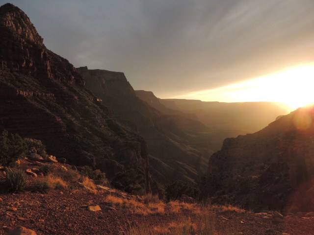
I’m watching the sun sink behind the canyon walls, three miles and a couple of thousand vertical feet below the rim of the Grand Canyon. It’s a beautiful April evening, with a welcome breeze that keeps the desert flies away.
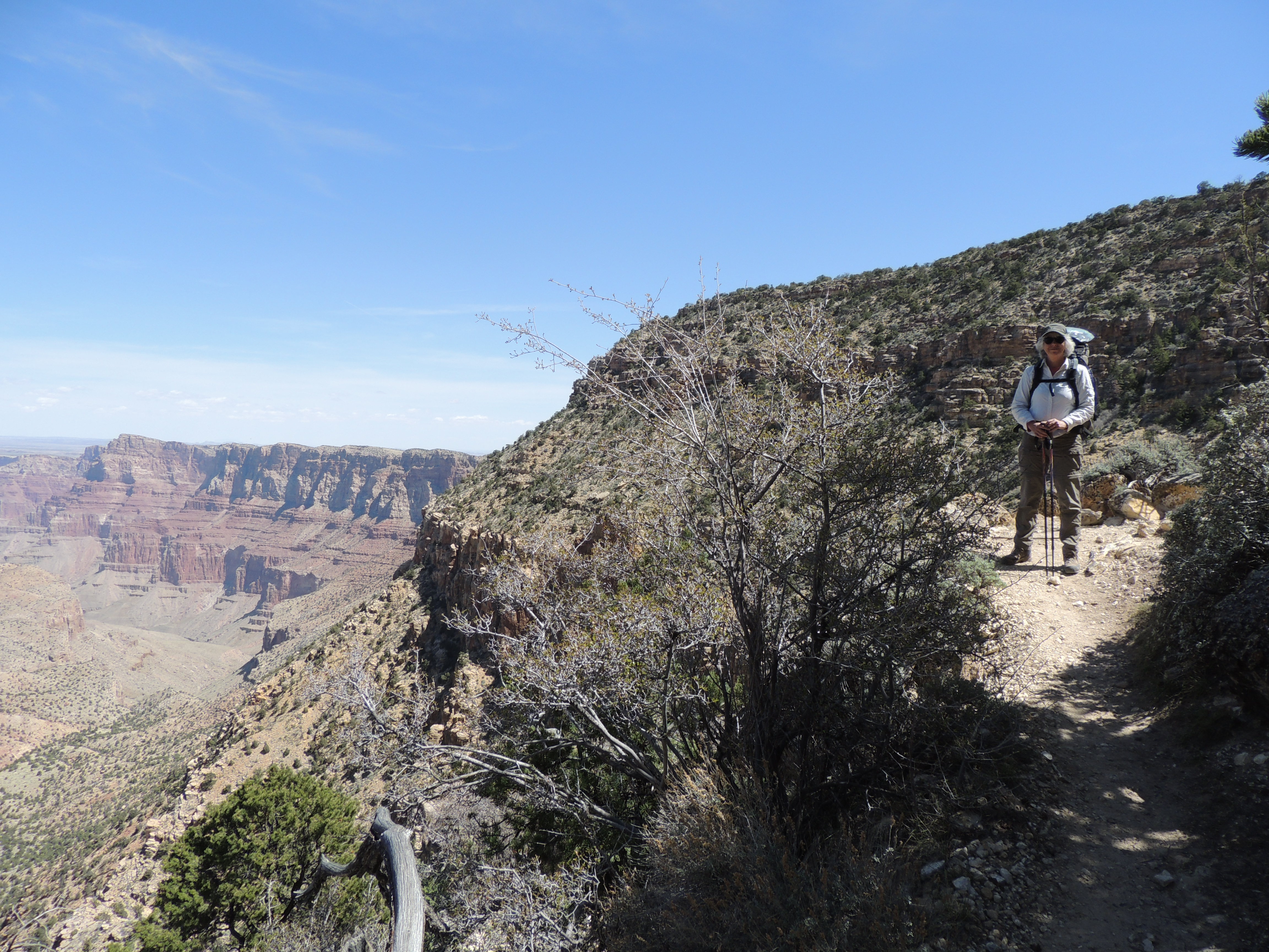
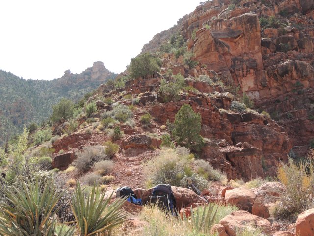
The day before we’d stopped at the backcountry office to see if we could get a backpacking permit. It was after noon by the time we arrived, so we weren’t counting on getting one, but we were in luck: there was a permit available for the Tanner Trail. Now, we haven’t hiked much at all in the Grand Canyon, and I’d only read a little about the different trails. The backcountry ranger looked us over pretty hard before she brought up this hike, and questioned us in what I thought was surprising detail about our hiking and backpacking experience. She said that the Tanner was a “really rough” trail, with no water, and that normally she’d only give a permit to folks with experience on the easier trails in the canyon. But apparently we passed whatever test she was giving us, because we got the permit. (I think it helped that we could obviously read a topo map, and we had the Trails Illustrated map that she was using, and that we immediately made it clear that we had no intention of hiking to the bottom and up on a one-night trip. And that I wasn’t standing before her in a tank top and flip flops and shorty-shorts!)
Was it steep? Yep. Rocky? Yep. Difficult? Yep.
But worth it? Absolutely.
Actually, we did this one nighter in what I think was a really smart way: we hiked down a few miles, set up camp, and then hiked a bit further in the late afternoon. I was concerned about not having enough water for the hike up and out, but we were fine. (The water situation was helped by the fact that I forgot to pack the coffee, so we didn’t get to sit around camp in the morning with a hot cup of coffee. This would have been a crisis on a longer trip, but on this one it meant more water for the hike out.)

Ready to go.
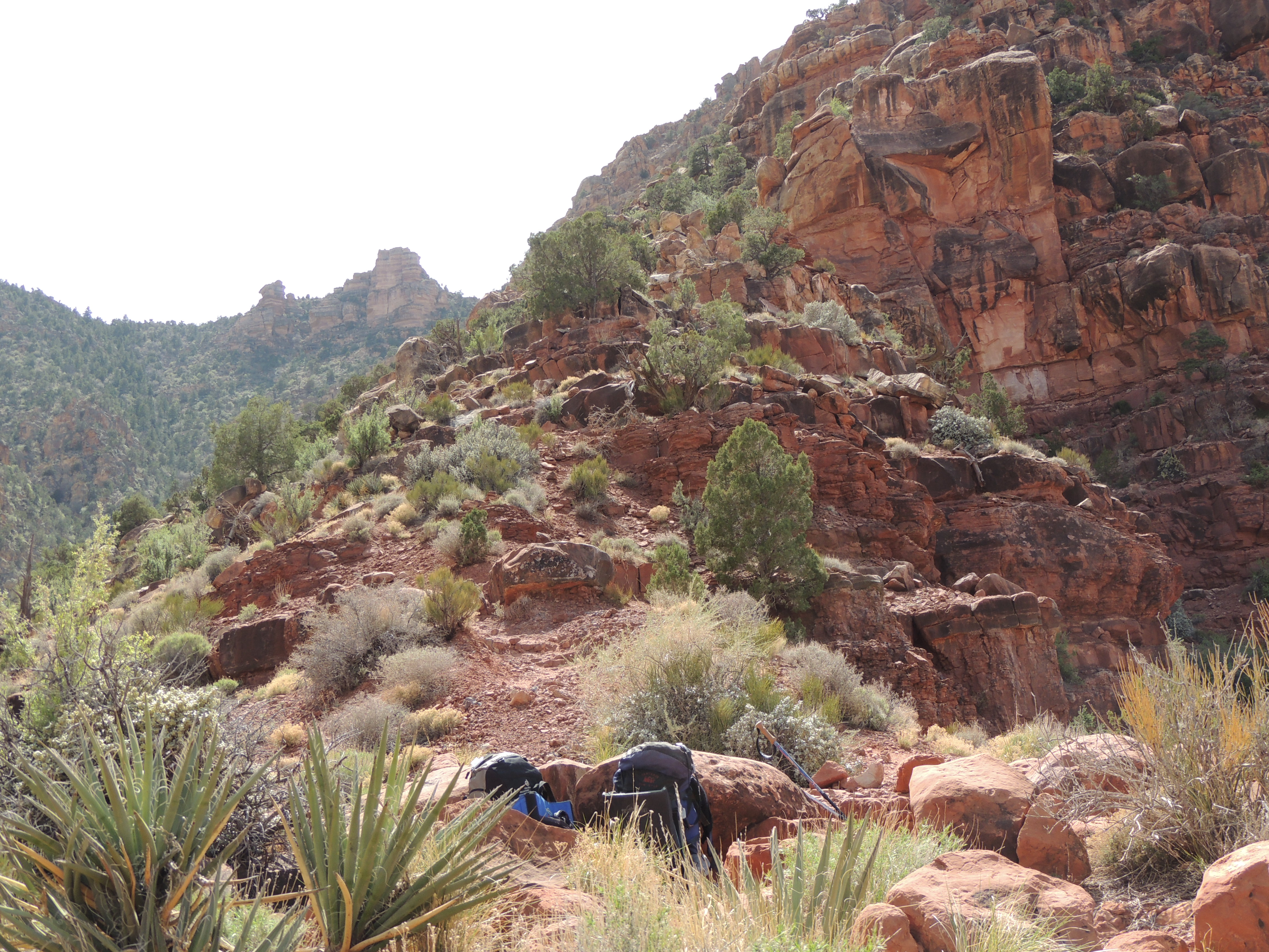
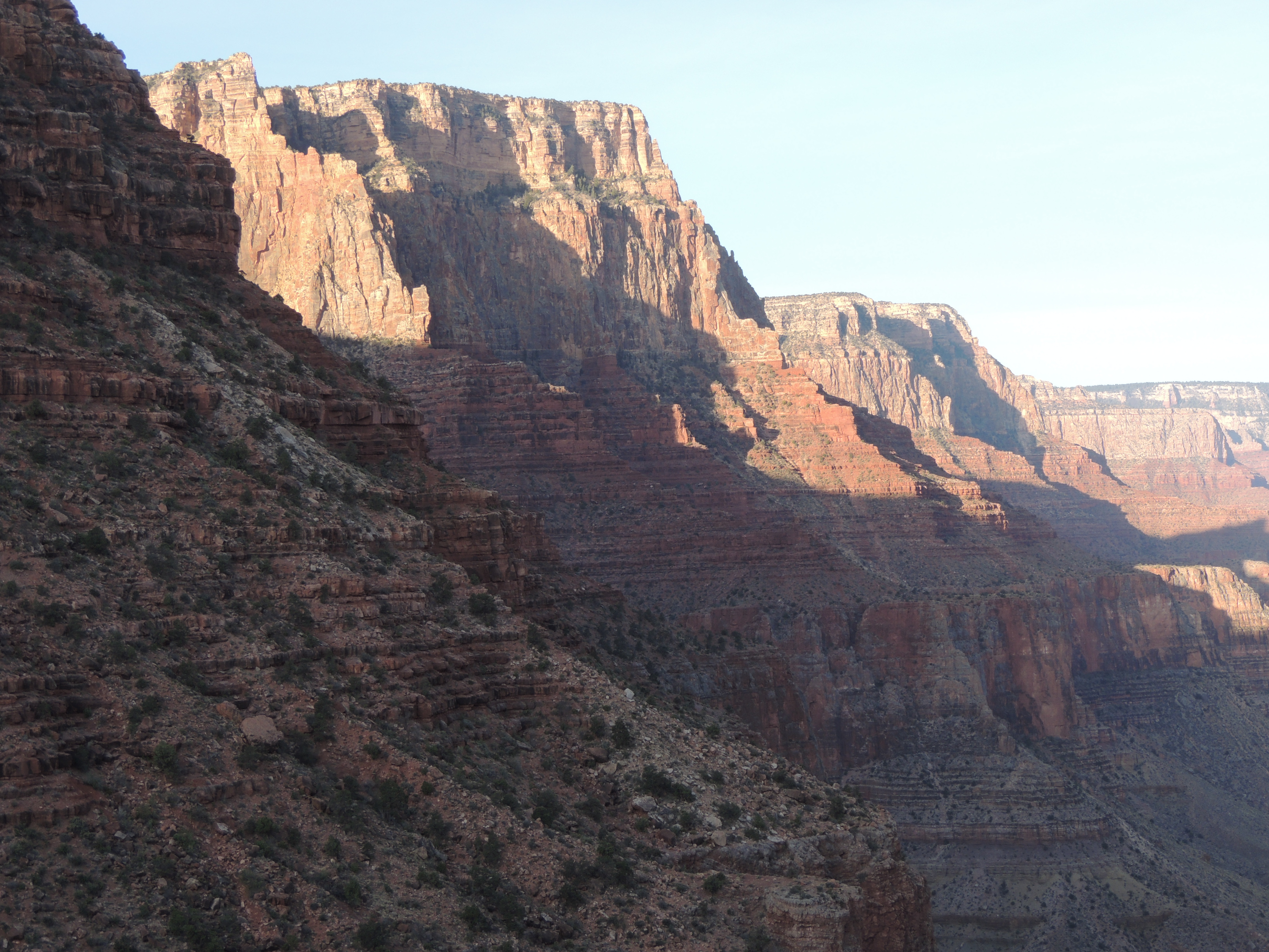
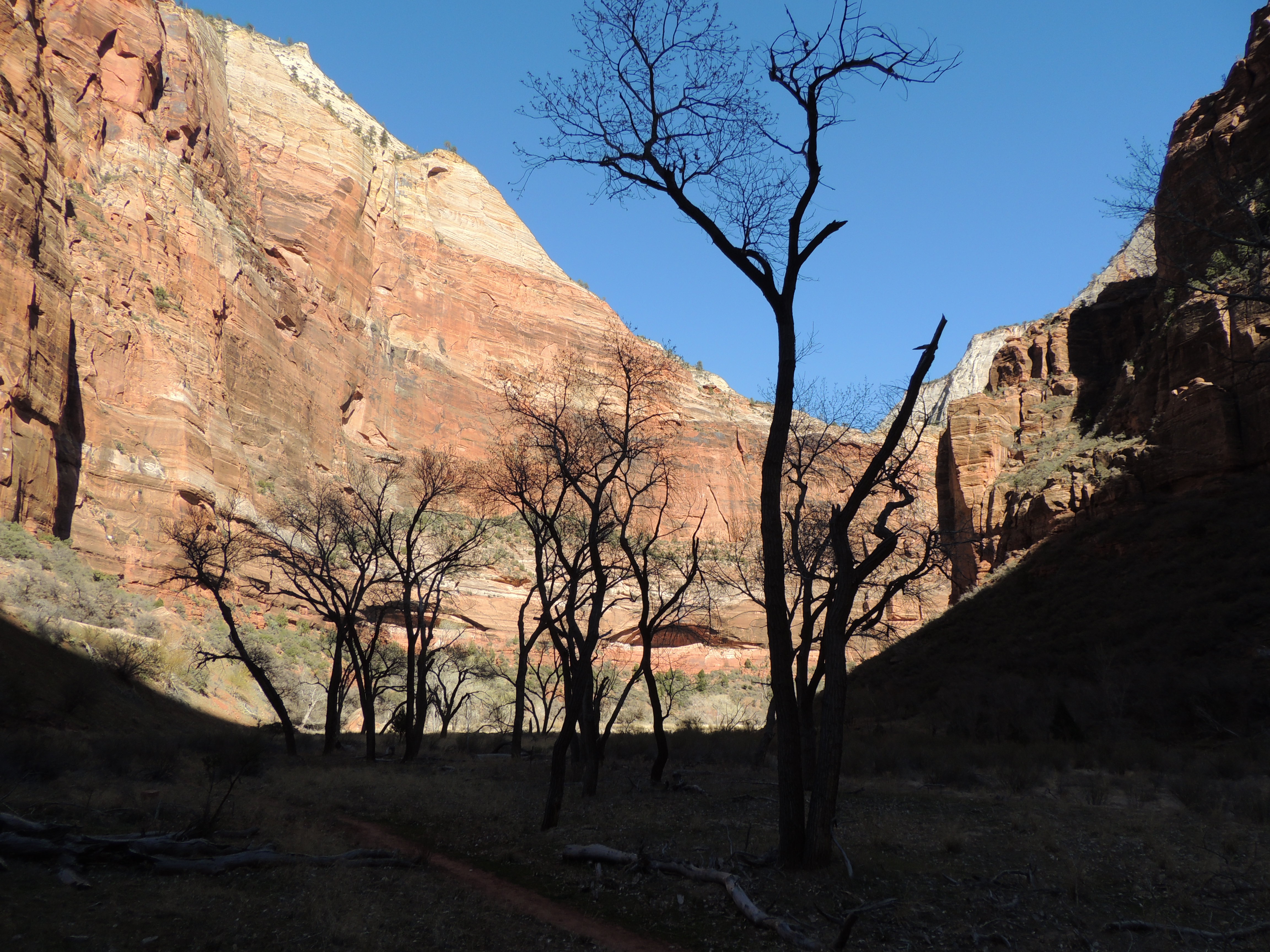
The trail starts out deceptively smooth and nicely graded. But it quickly gets rockier and steeper, and just keeps heading pretty much straight down Tanner Canyon.

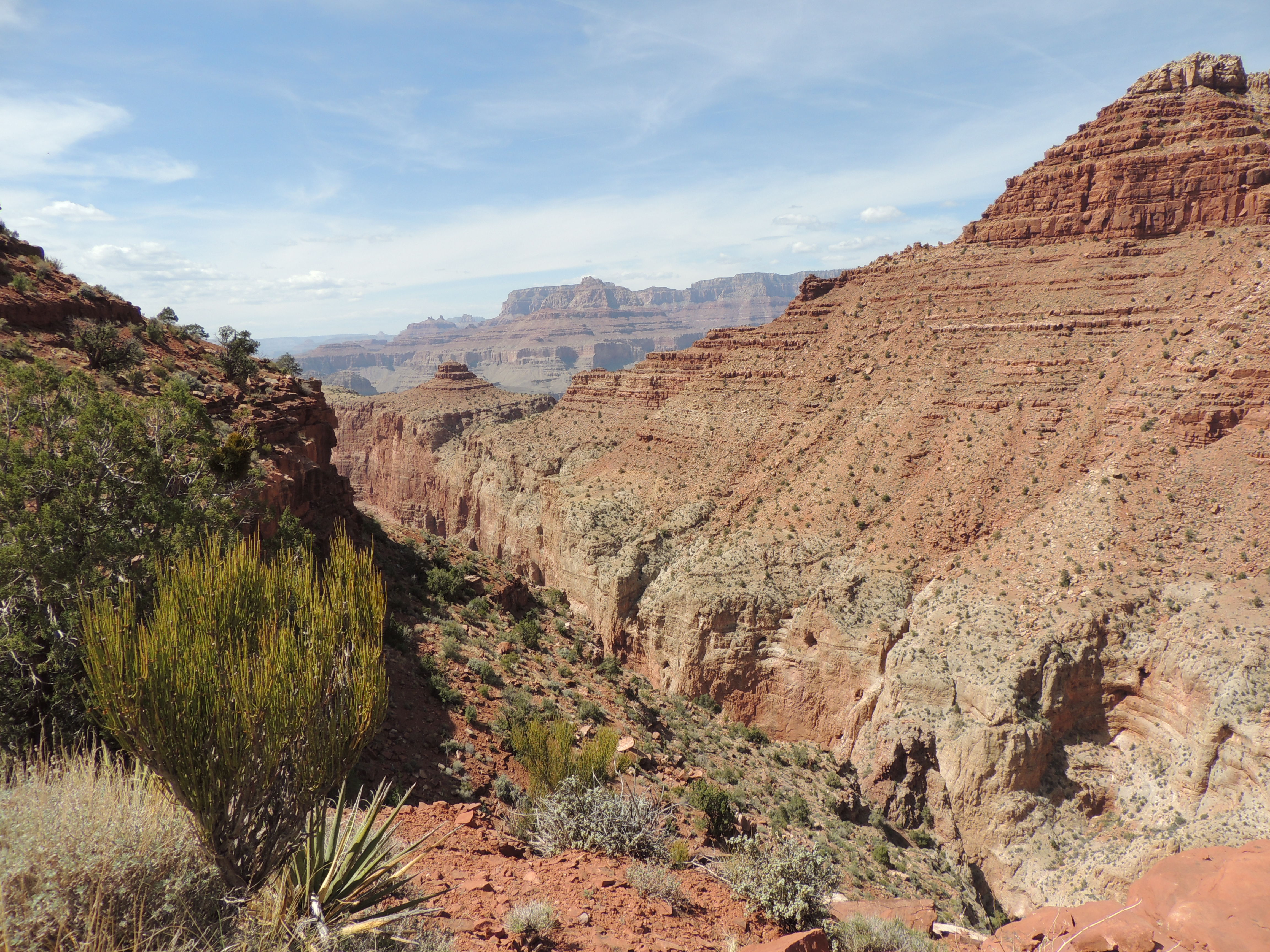
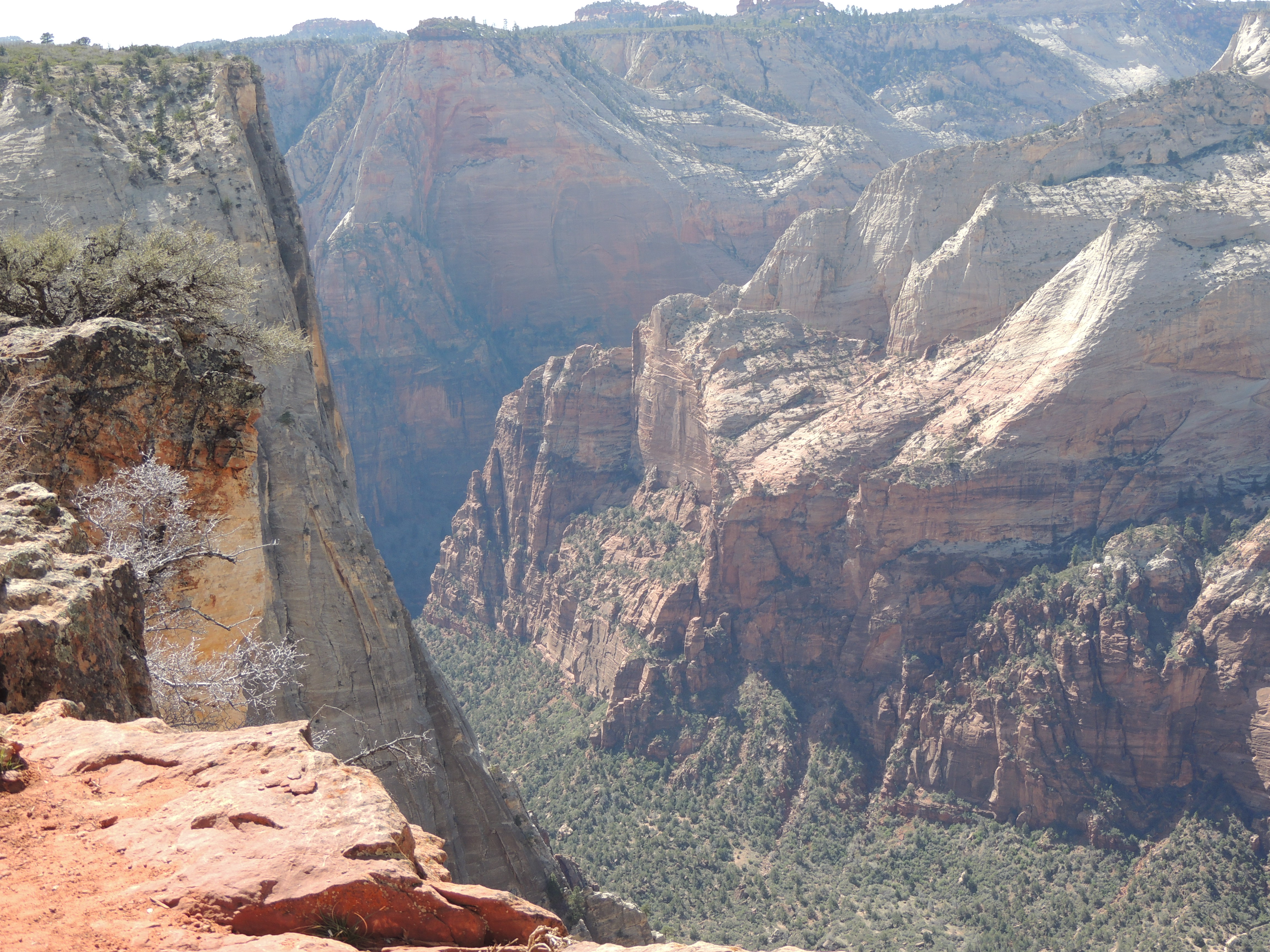
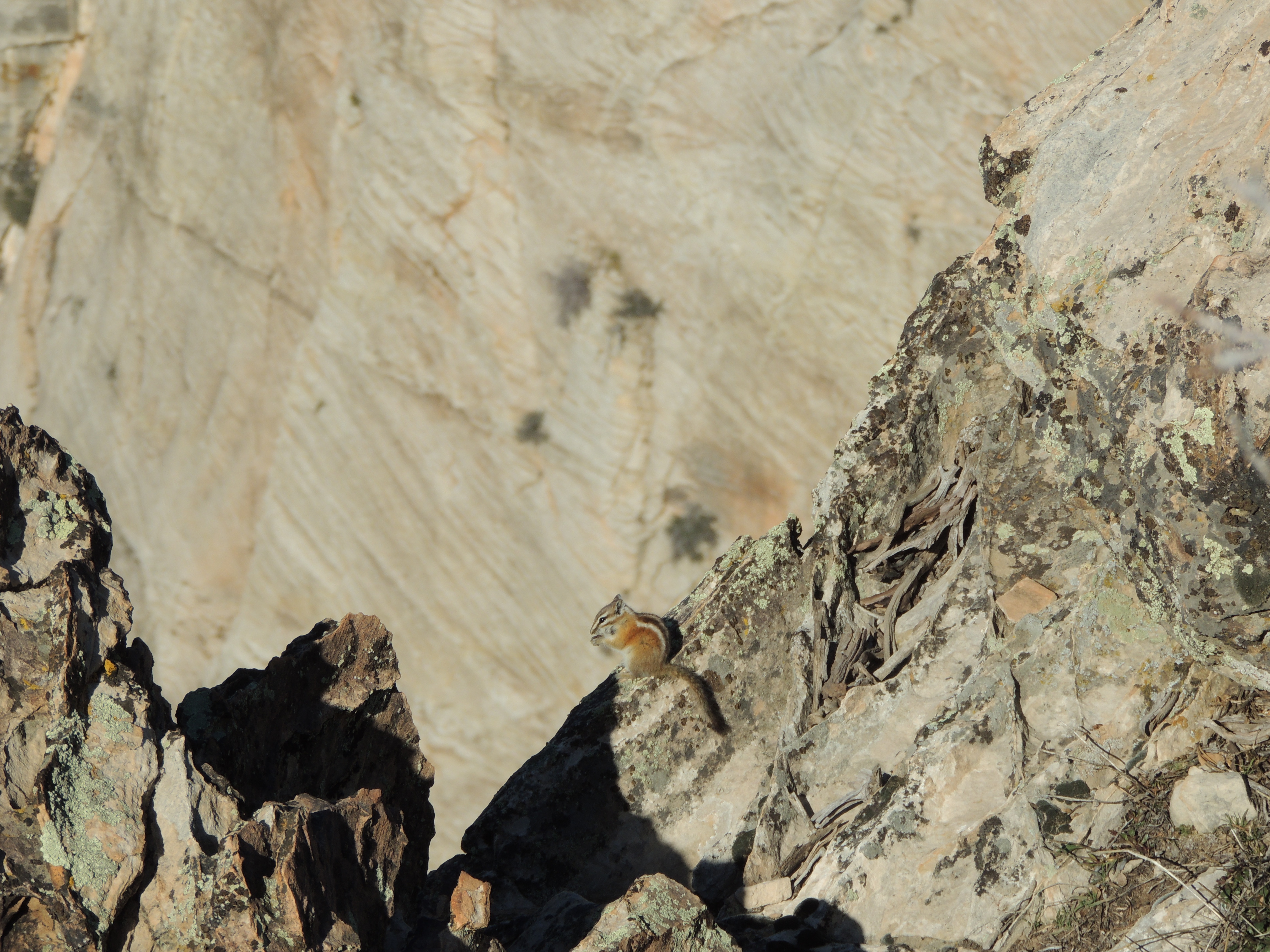
There aren’t any sheer drop-offs, but there’s lots of scrambling down and over boulders, and plenty of loose rock.

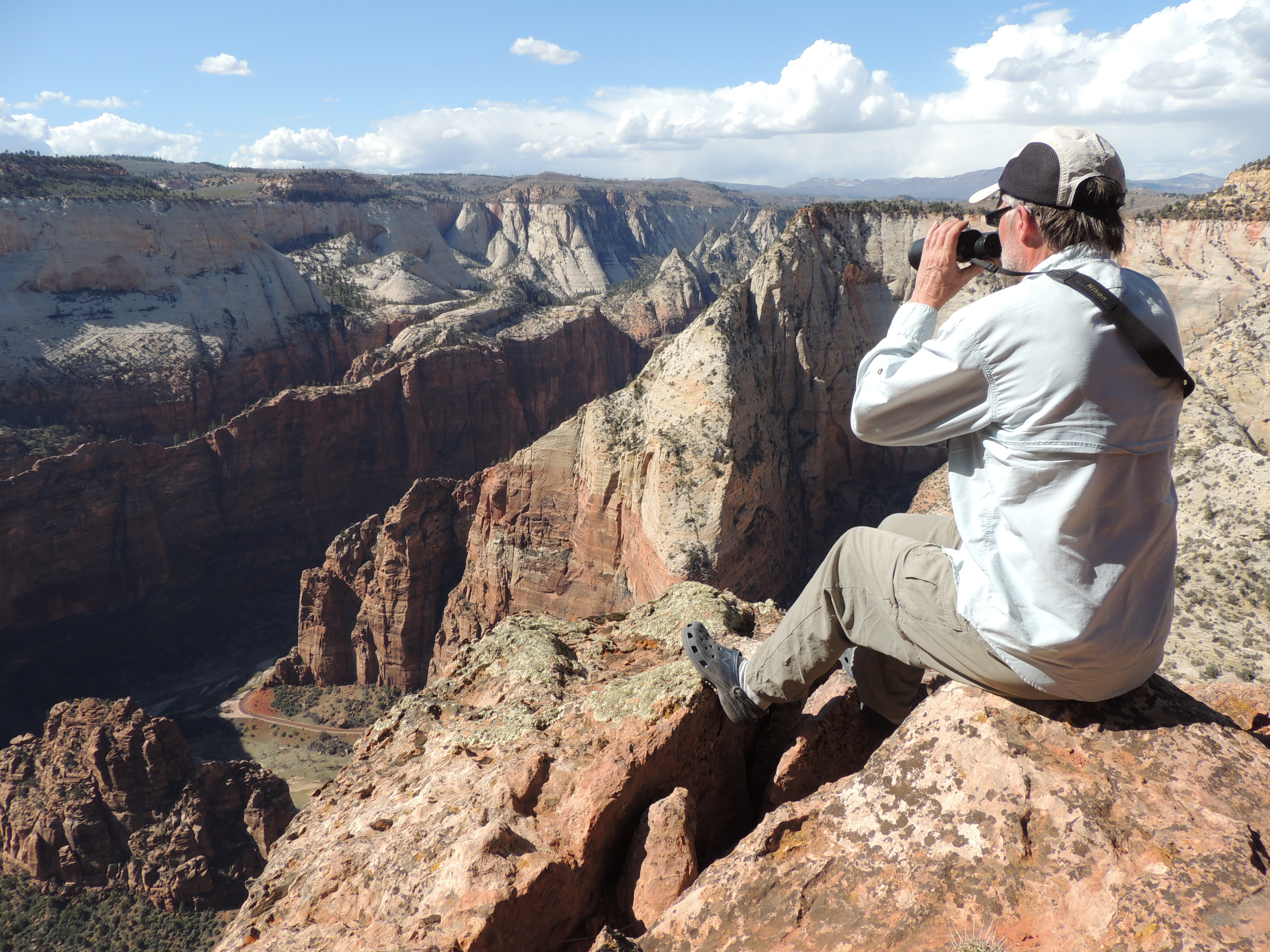
After a couple of miles you reach Seventy-Five Mile Saddle, which has a grand view of Seventy-Five Canyon.
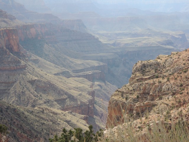
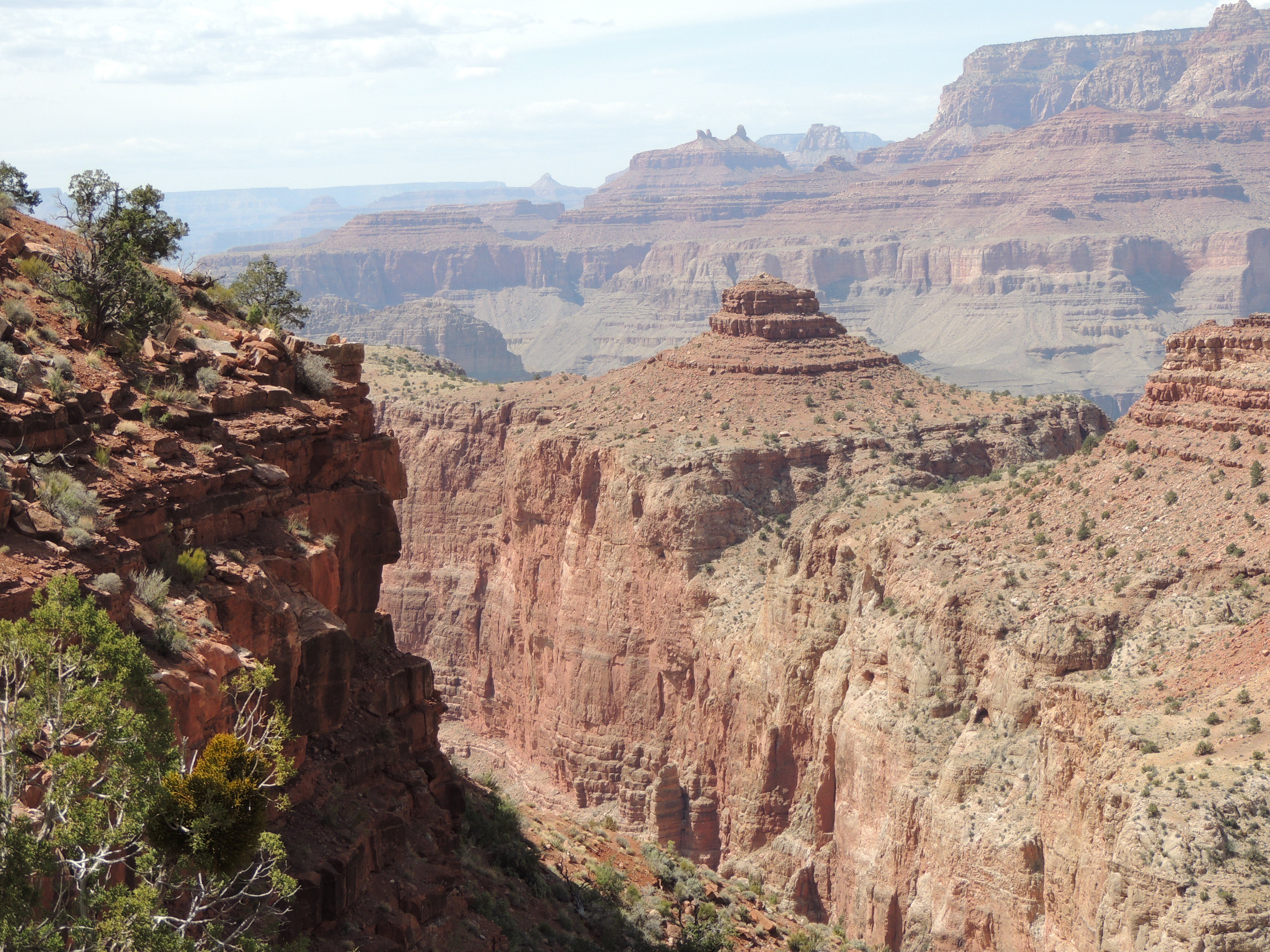
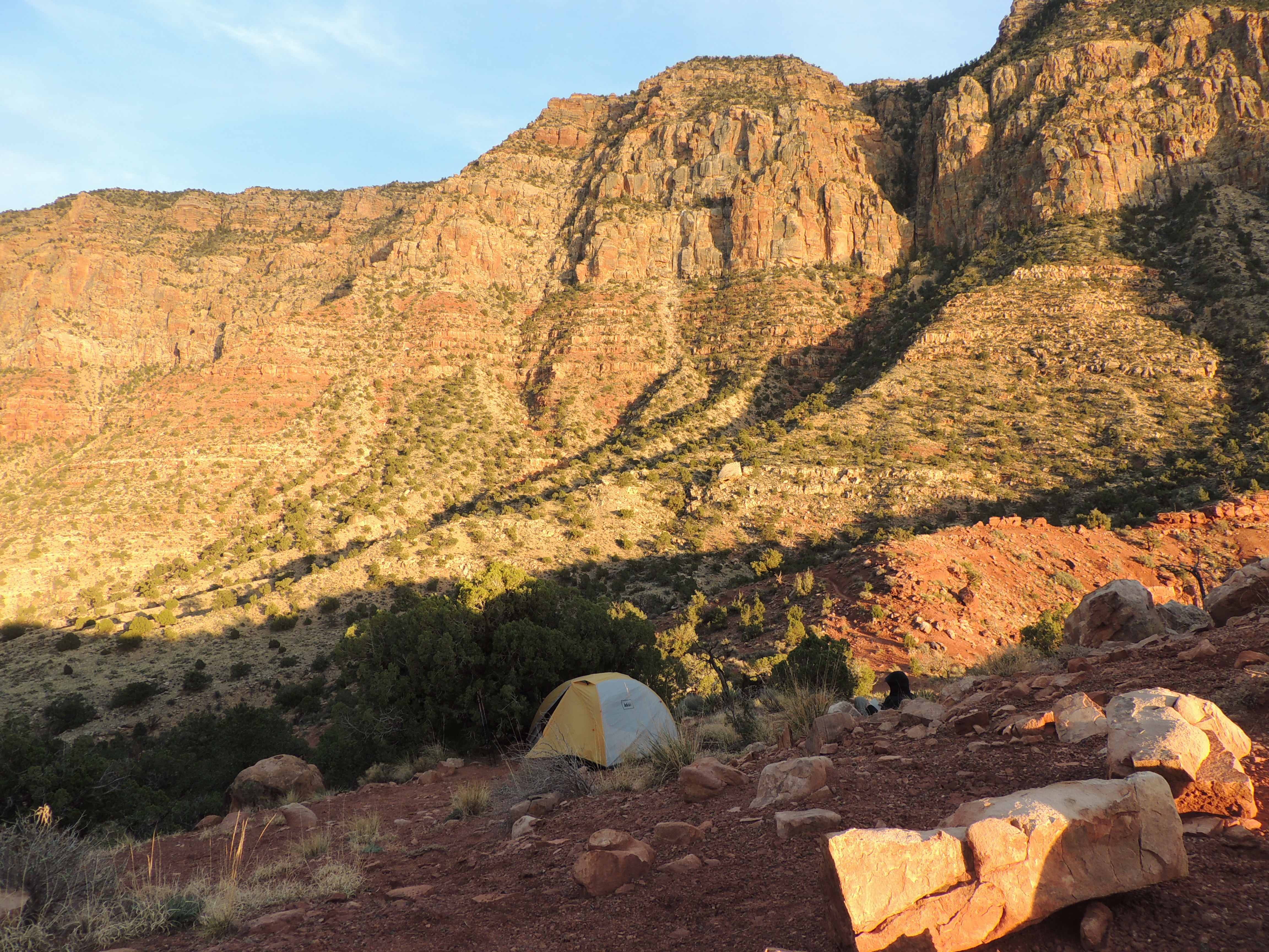
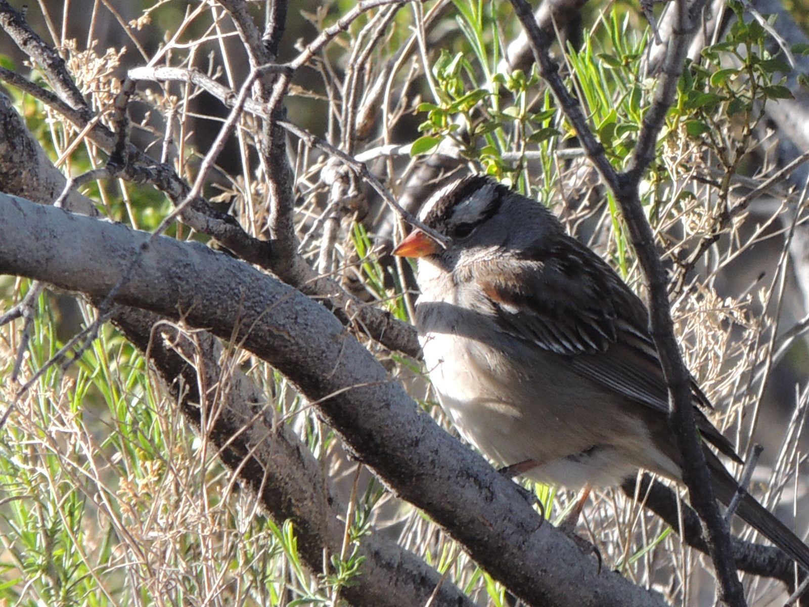
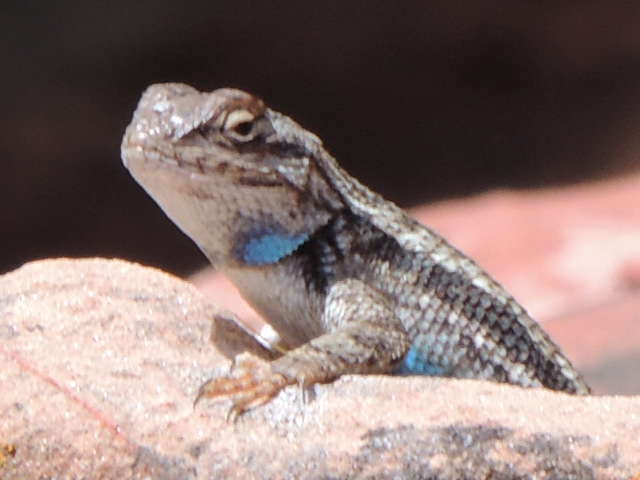
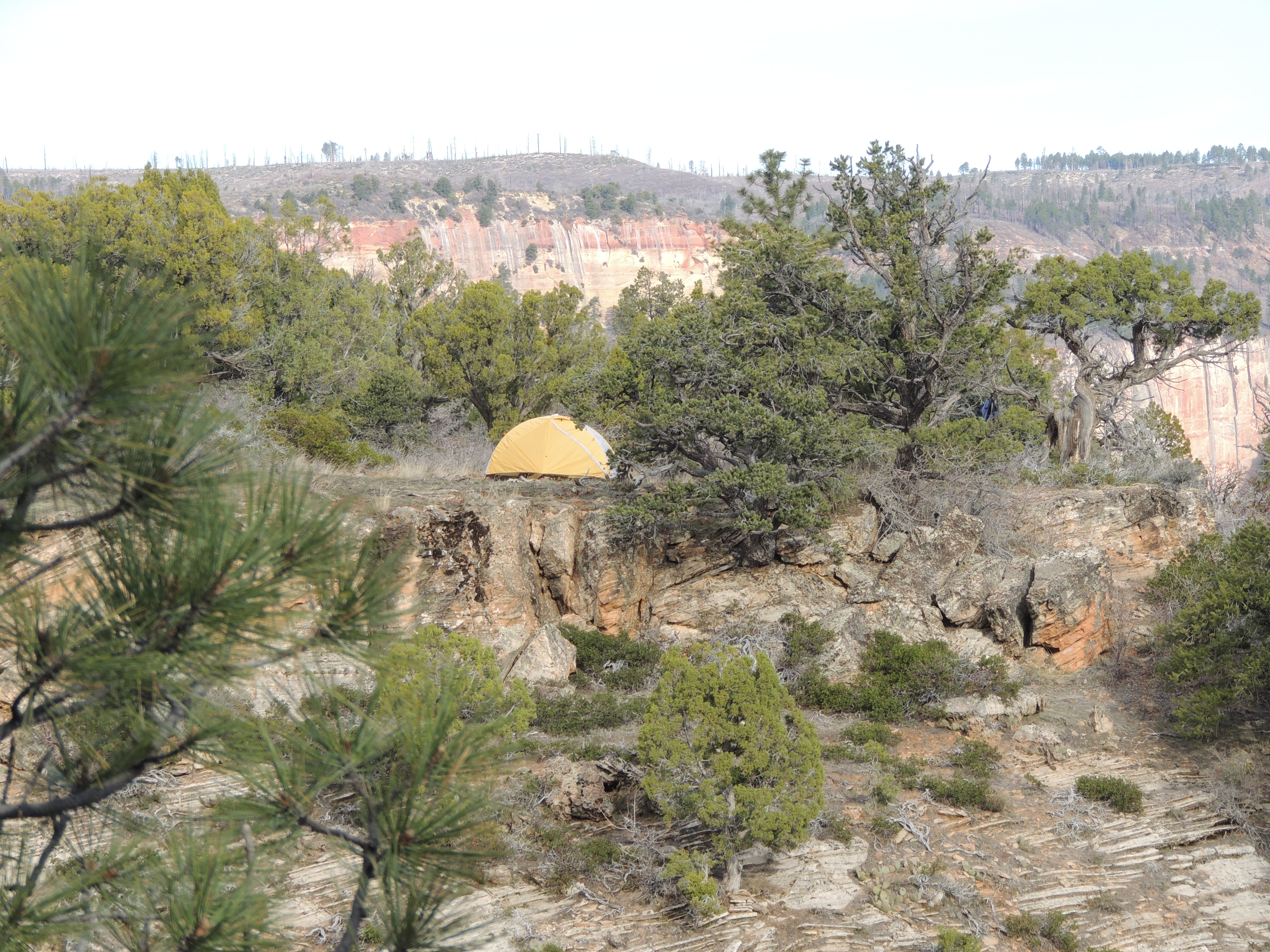
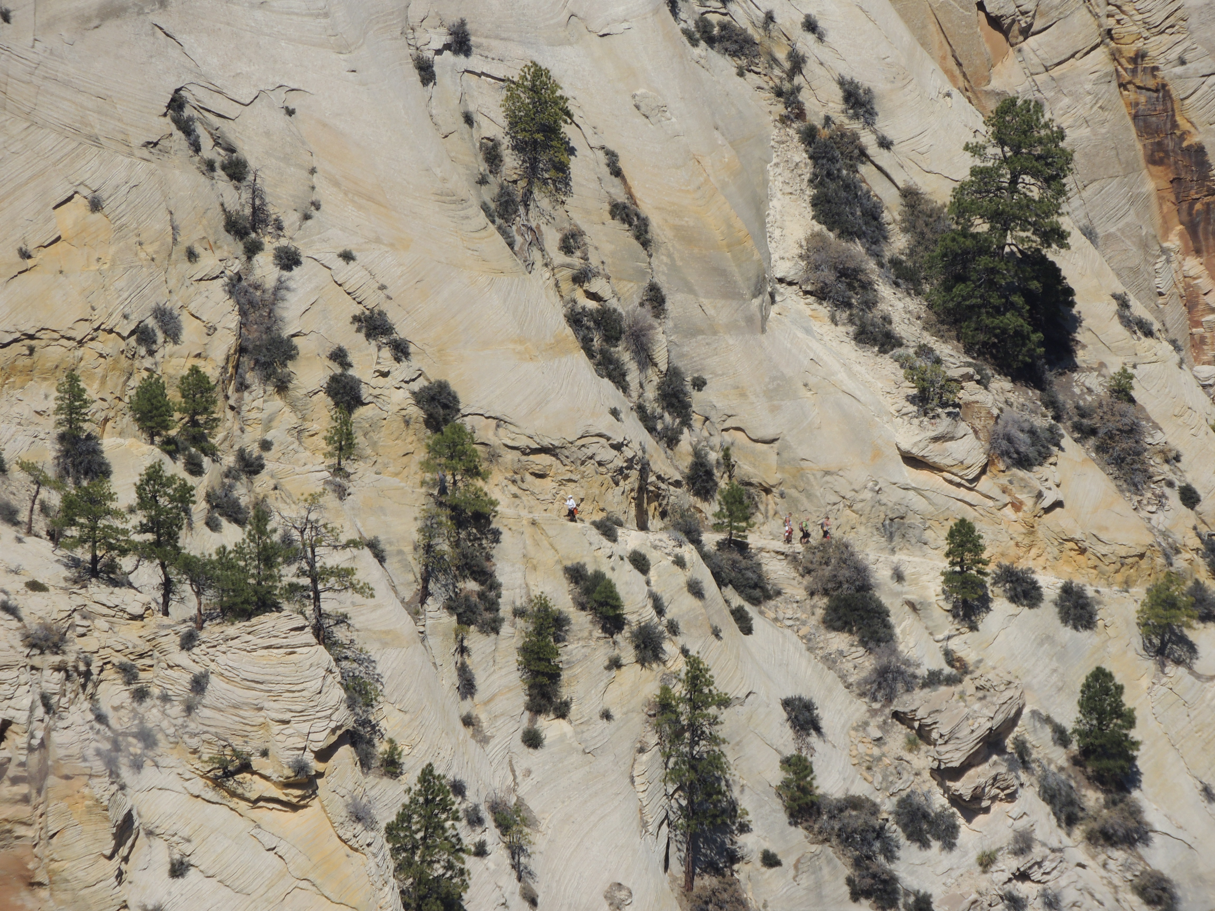
The trail heads down from the saddle, following Tanner Canyon, and then climbs slightly uphill on the other end of the saddle, below Escalante Butte. There were a couple of nice campsites at this point, and we wisely decided to set up camp there, and then we hiked without the heavy packs to check out the trail toward Cardenas Butte. This part of the trail is not difficult at all, and there are a number of good campsites on the benches between the two buttes. After Cardenas Butte the trail descends steeply again, and reaches the Colorado a few miles later. I’d love to return to this area and hike down to the river in a day, spend a night or two there, and then spread the hike back up to the rim over two days.
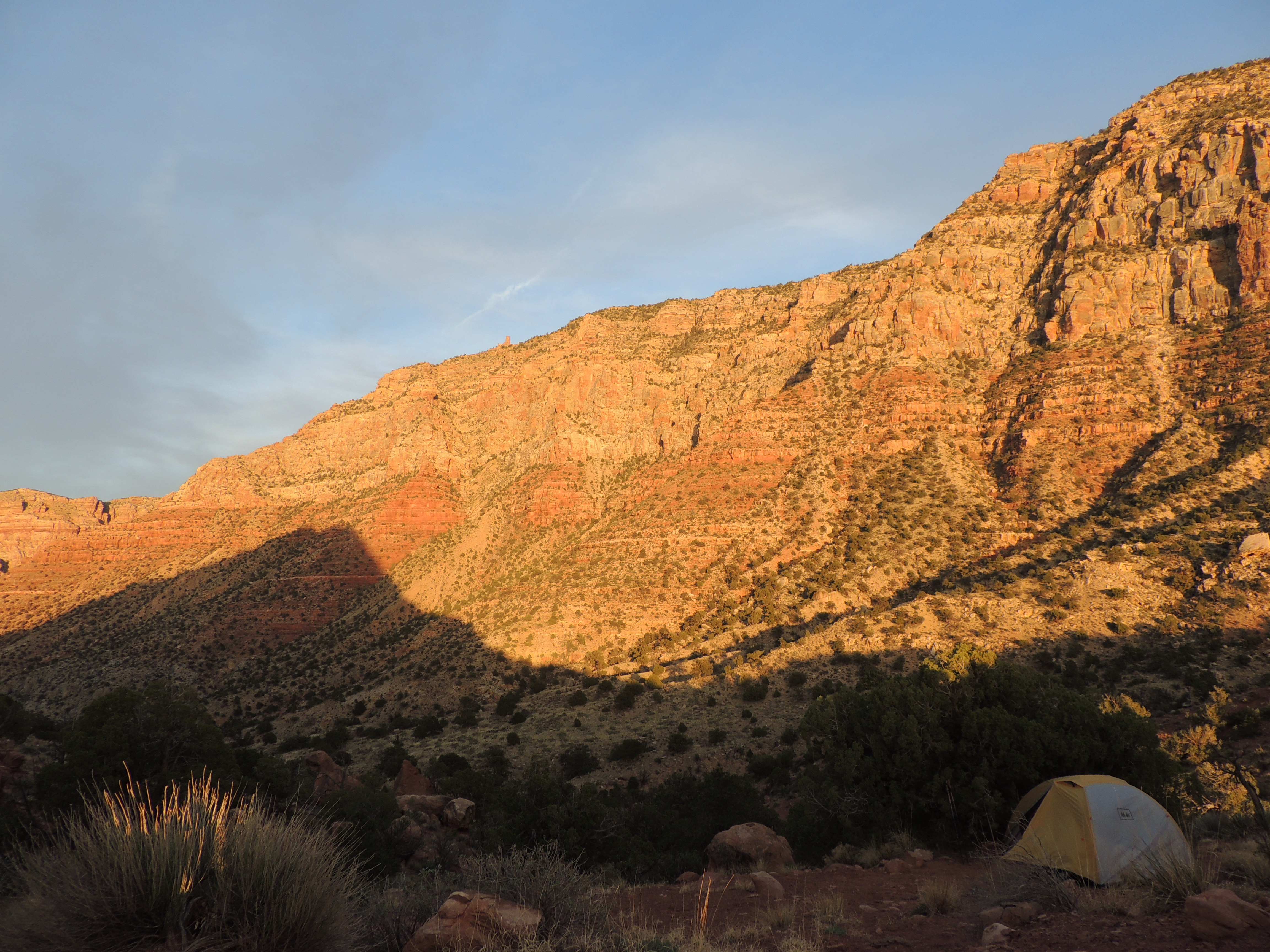
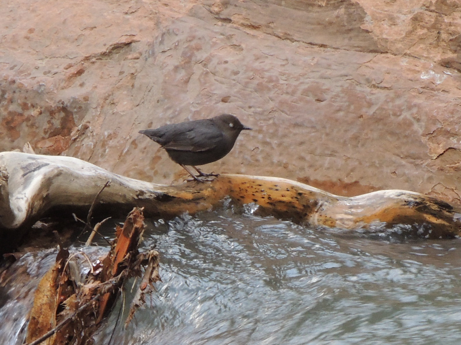
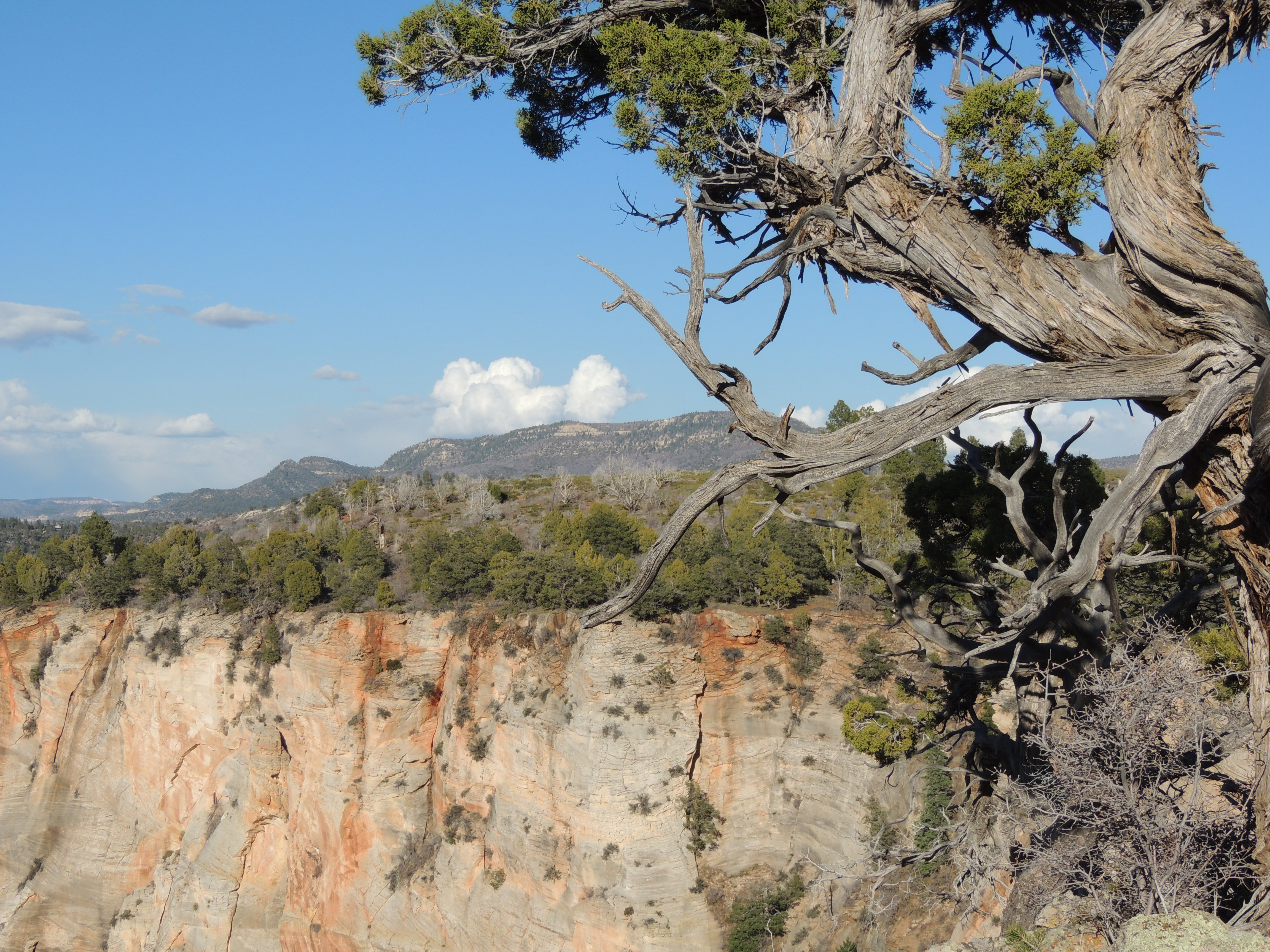
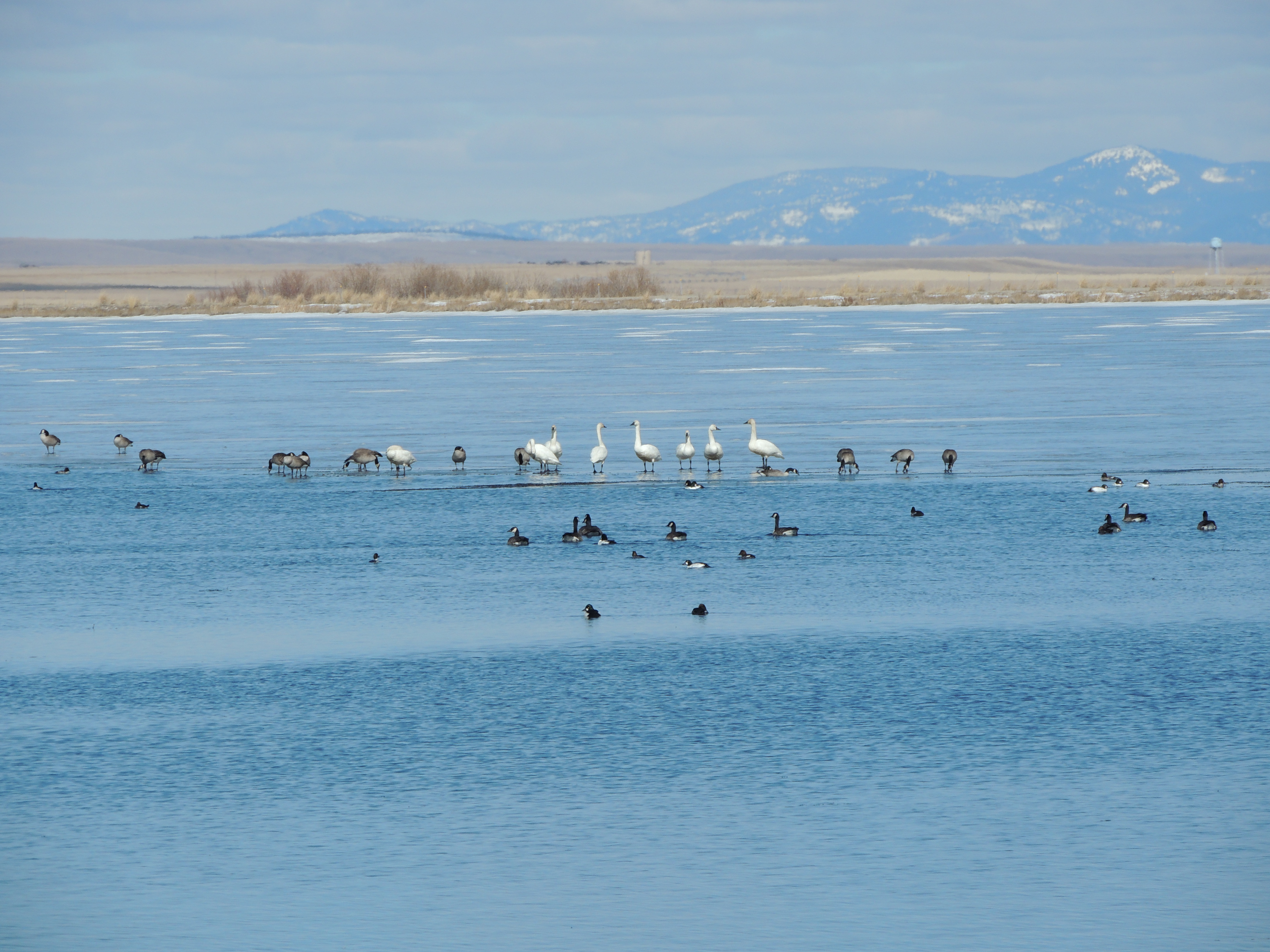
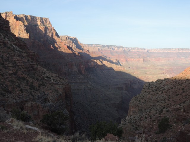
Our campsite had, of course, grand views.


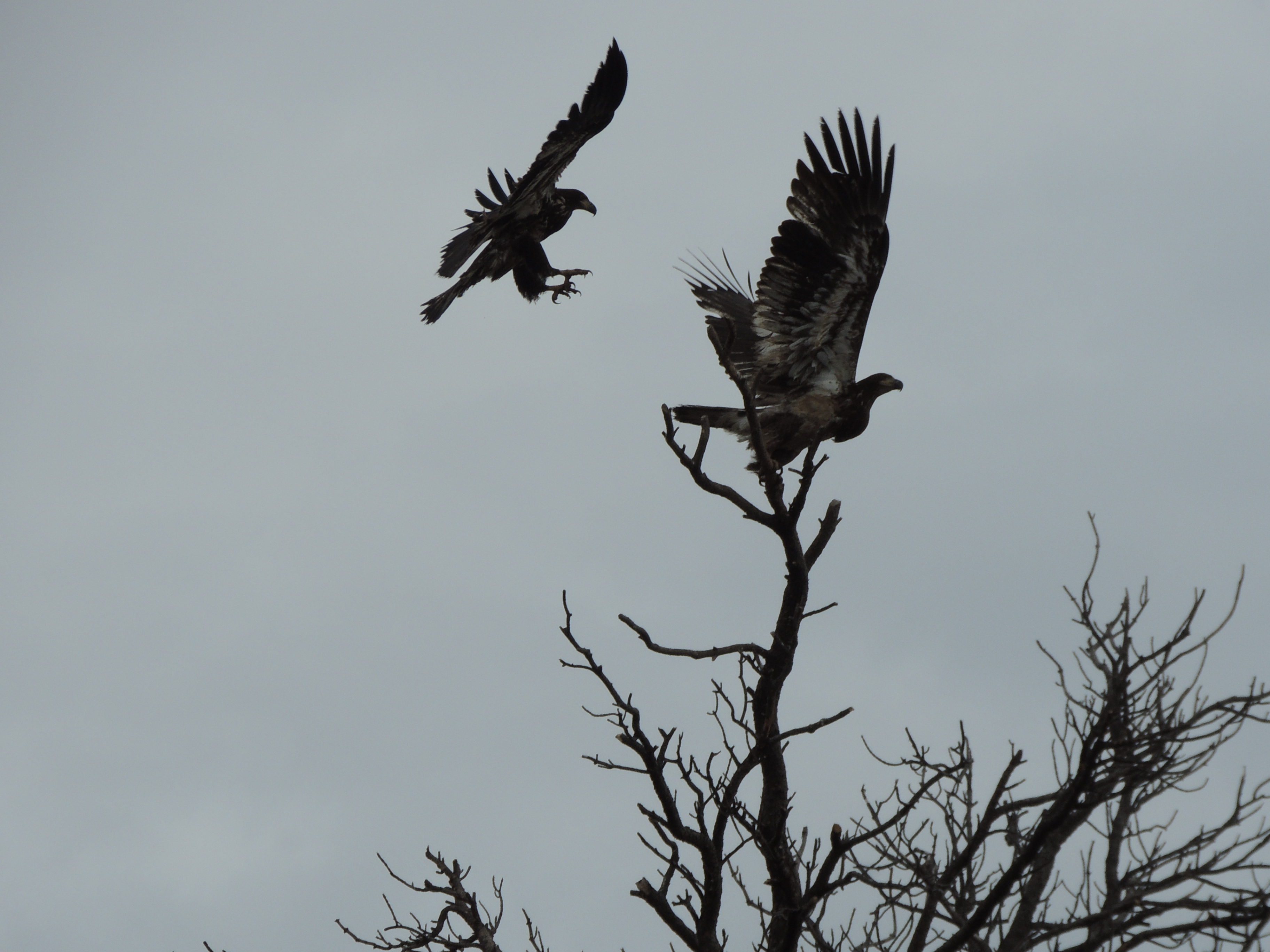
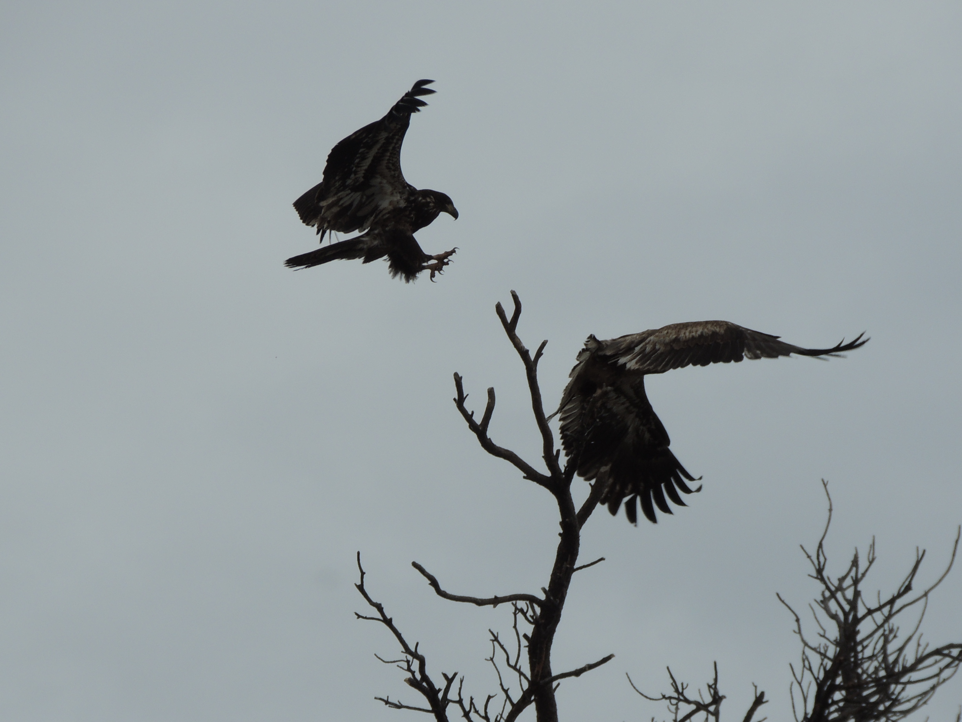
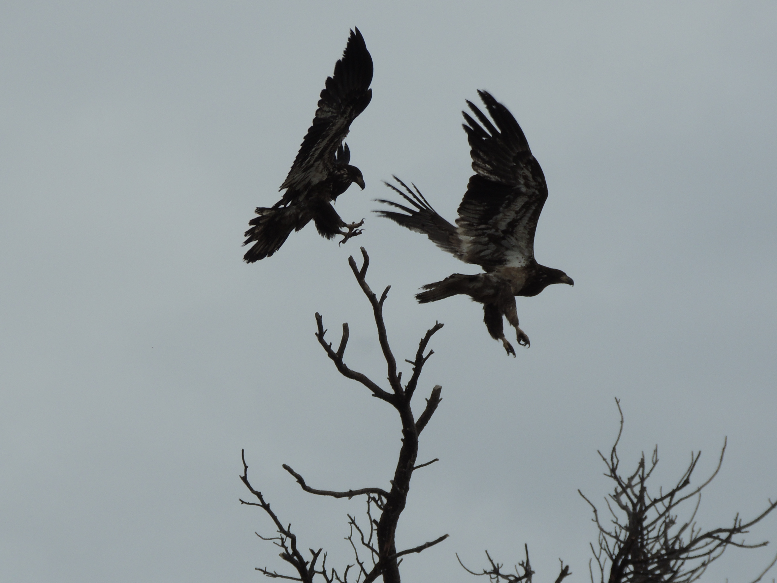
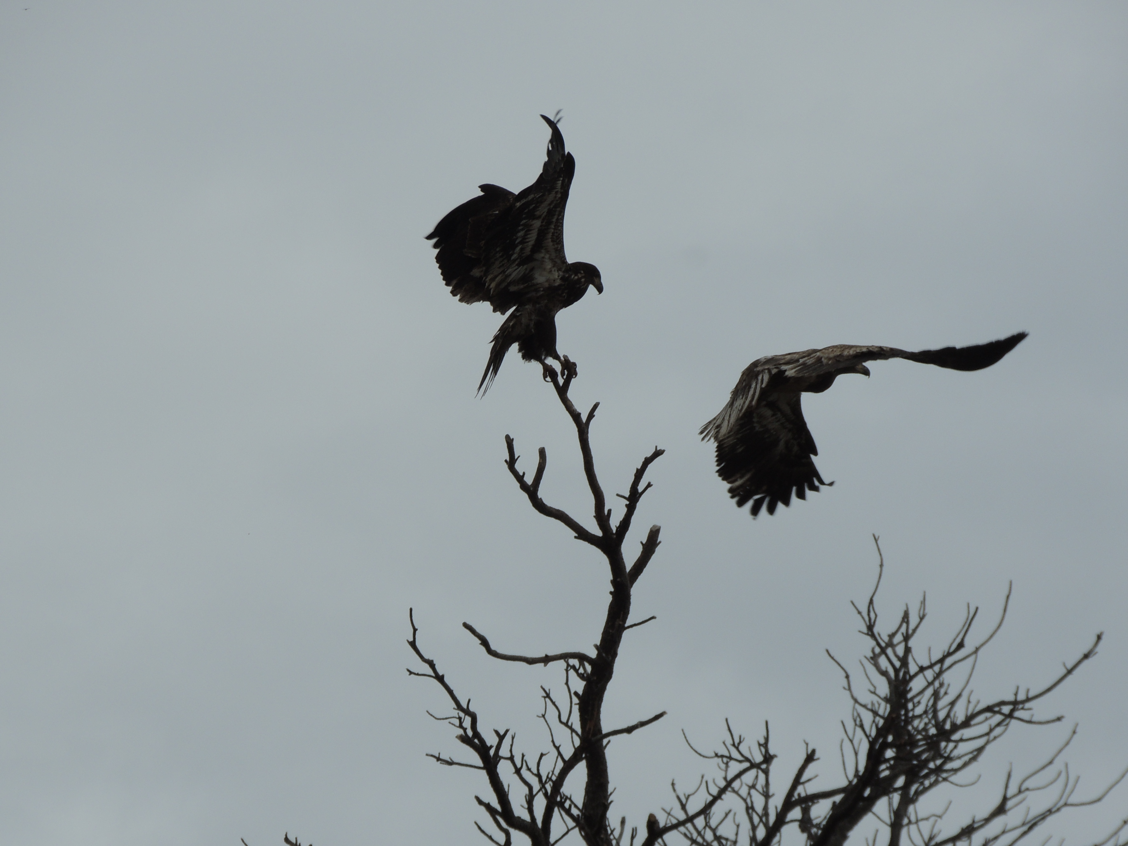
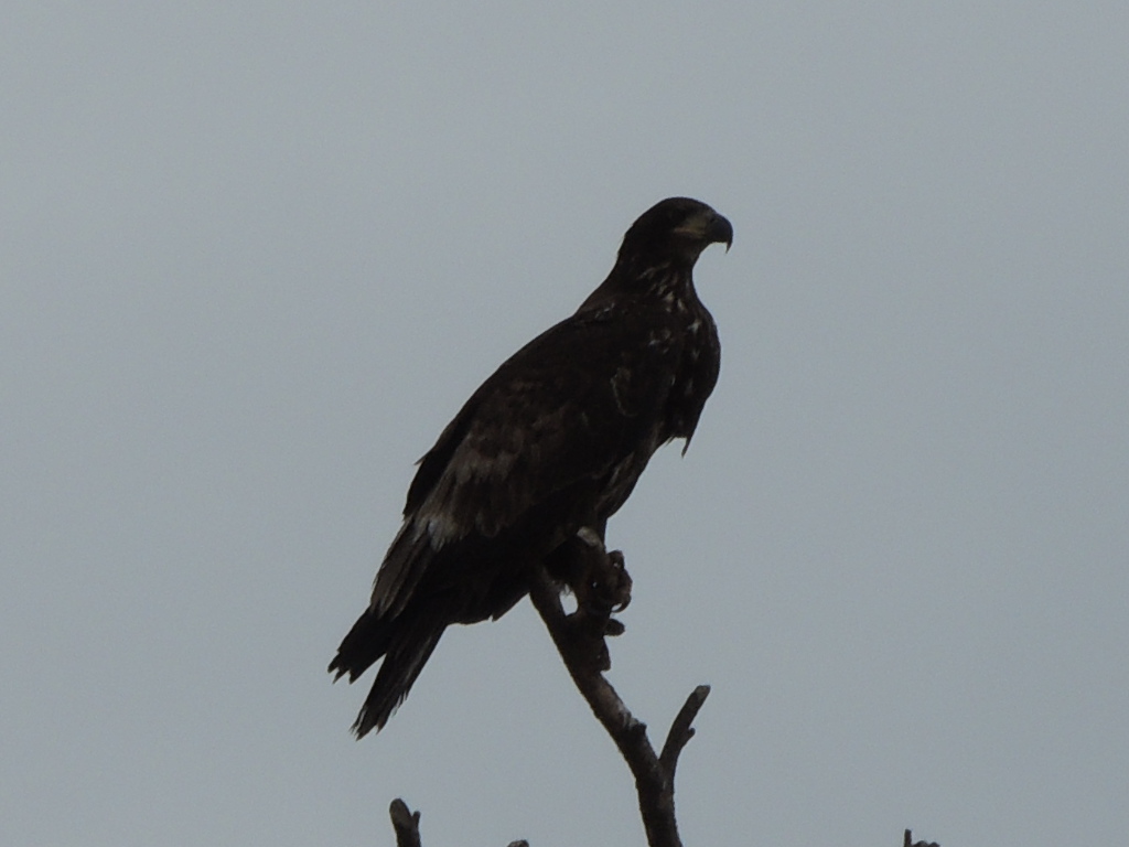
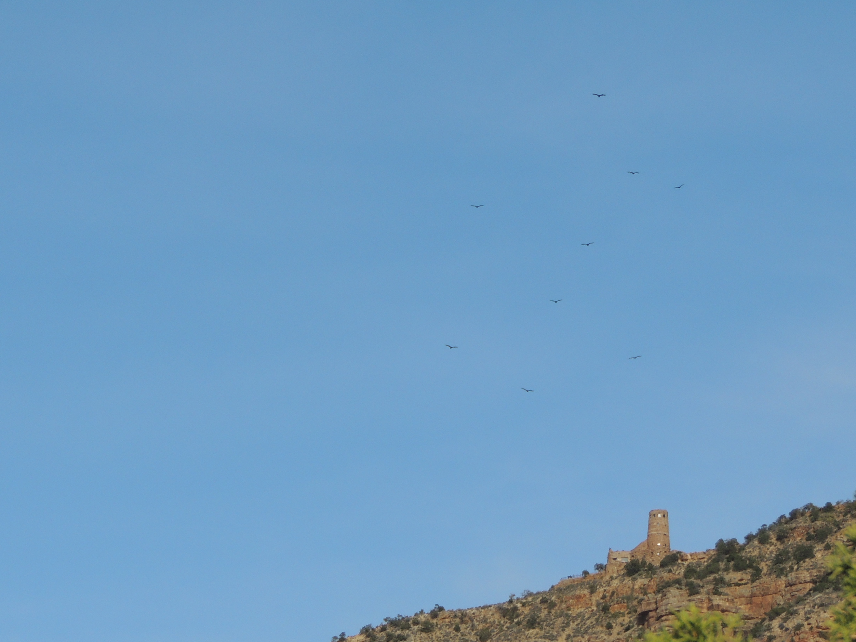
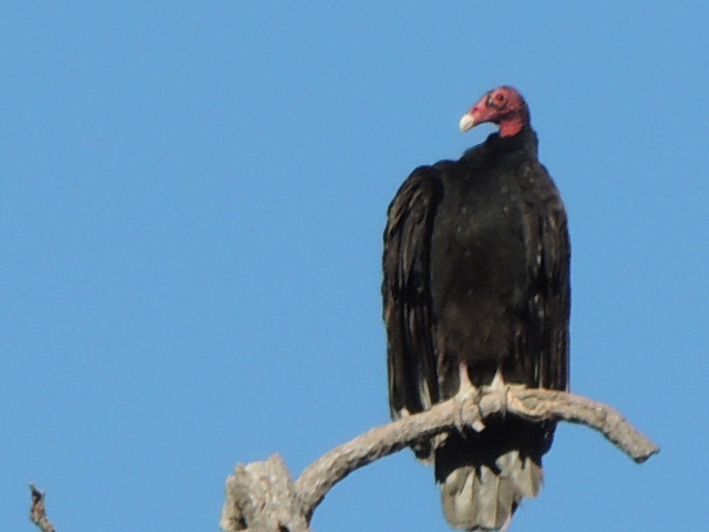
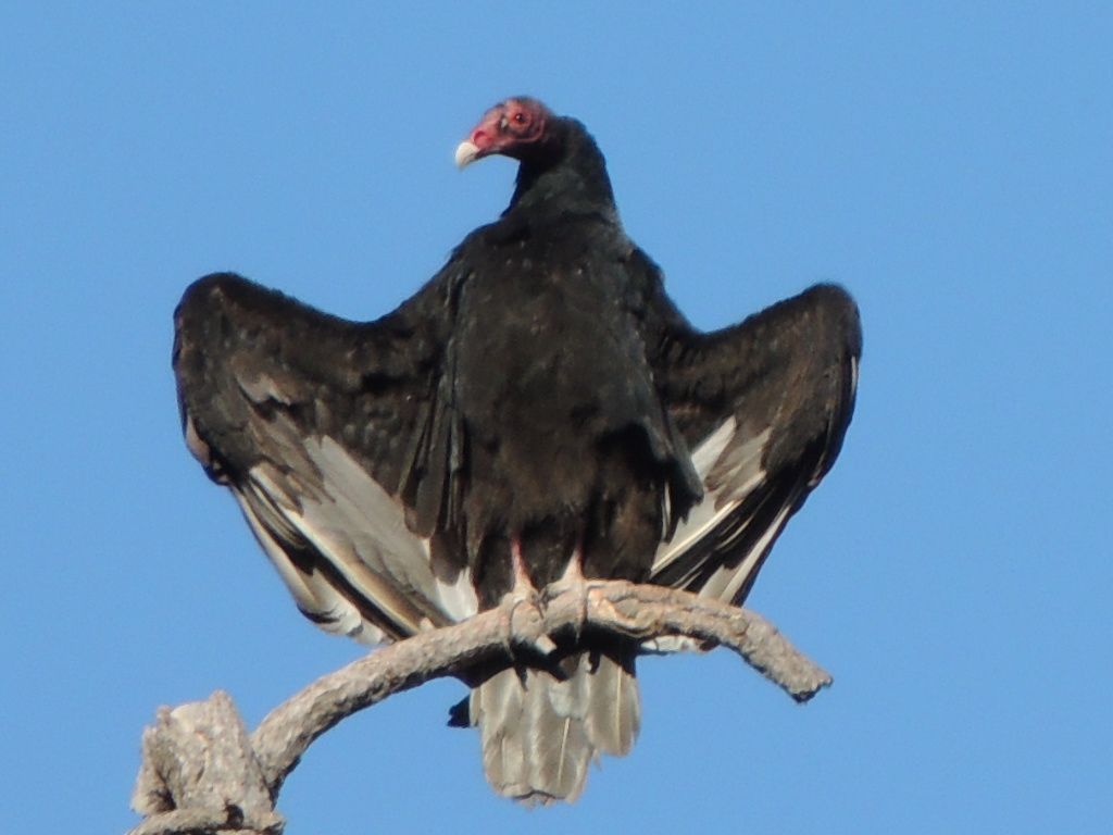
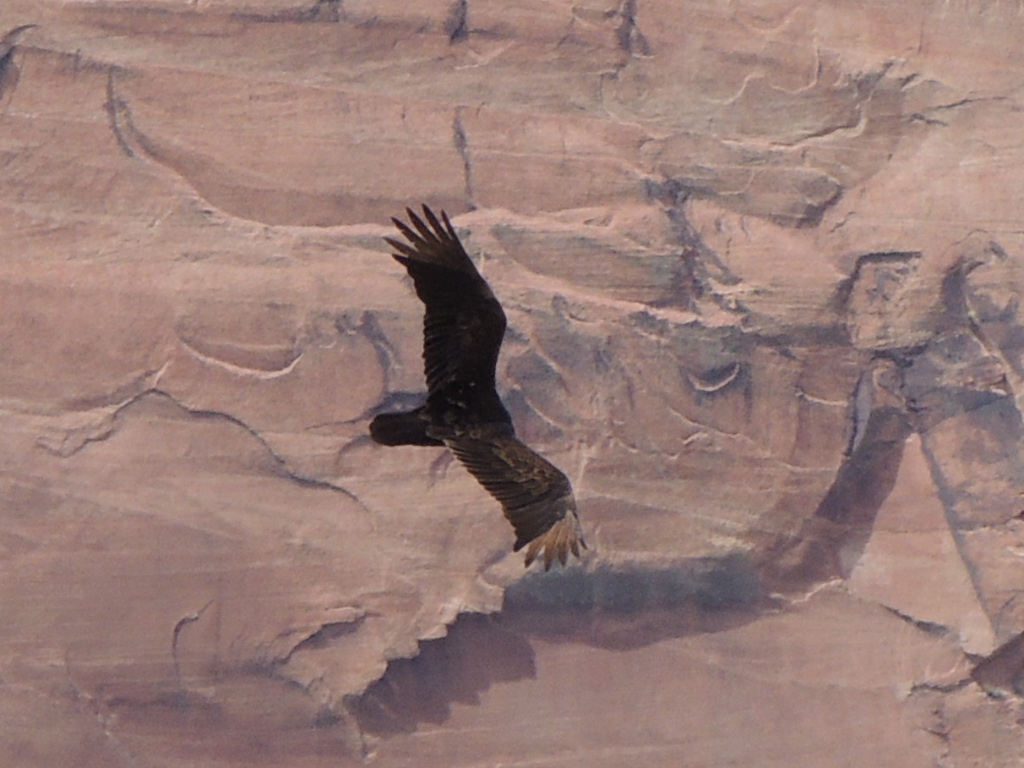
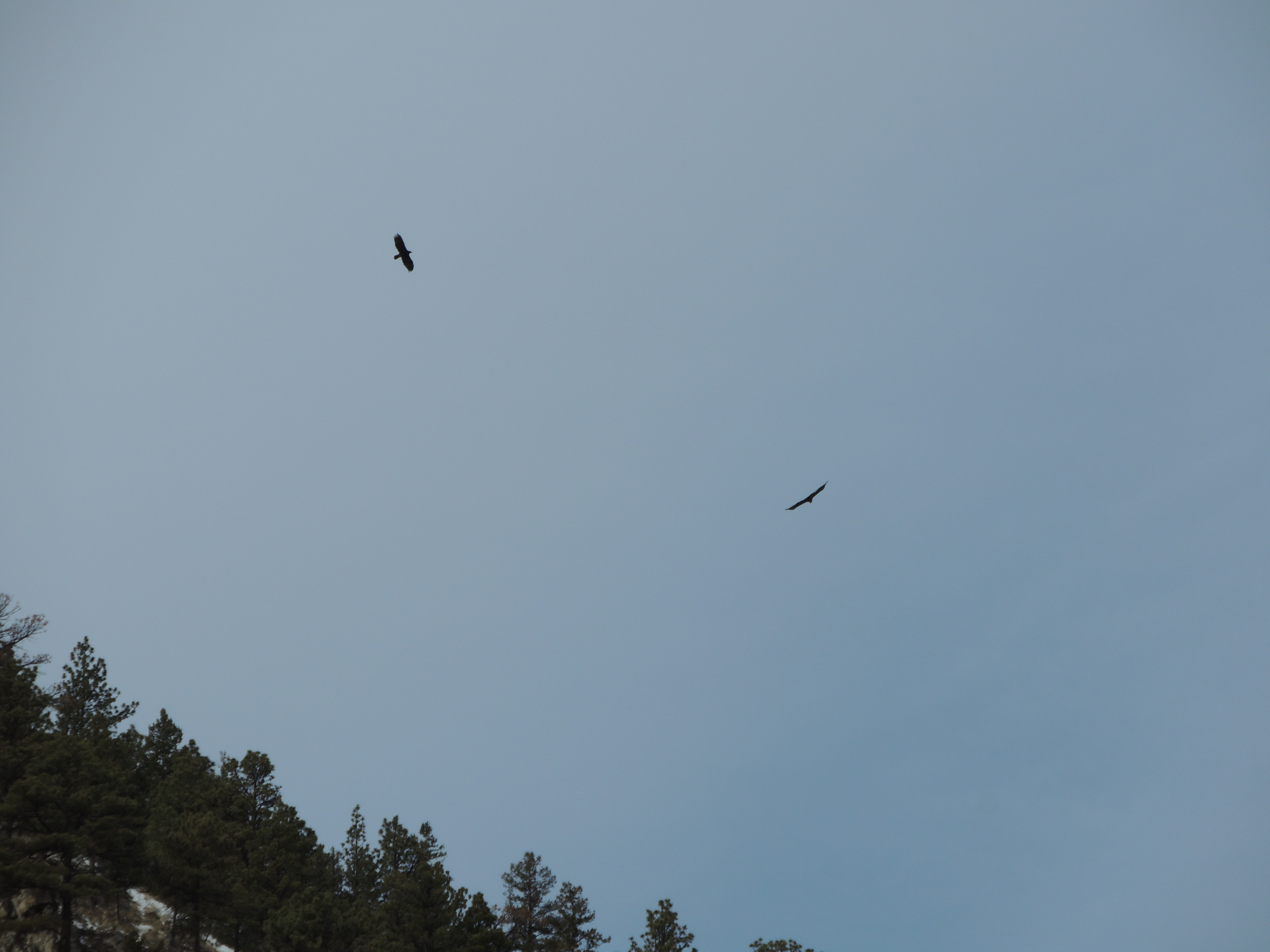
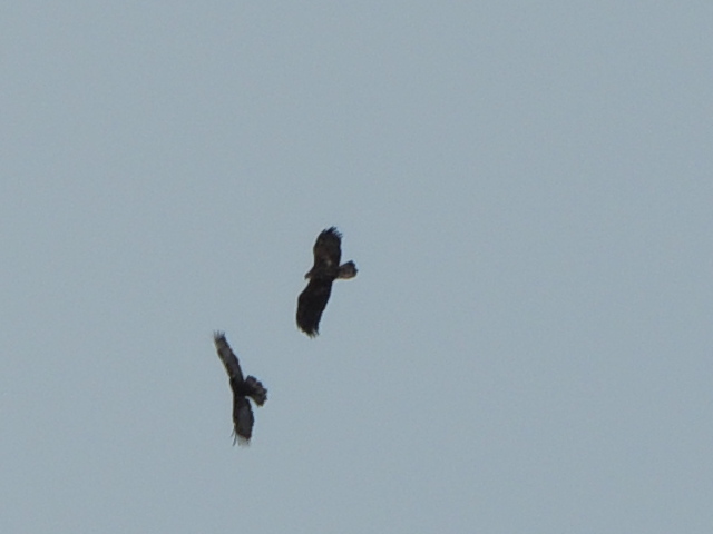
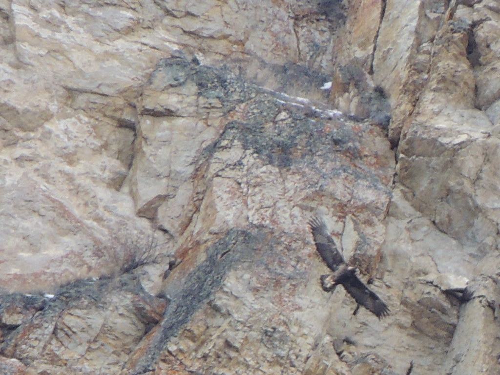
We even had a view of the Watchtower up on the rim at Desert View. See the vultures circling above it?

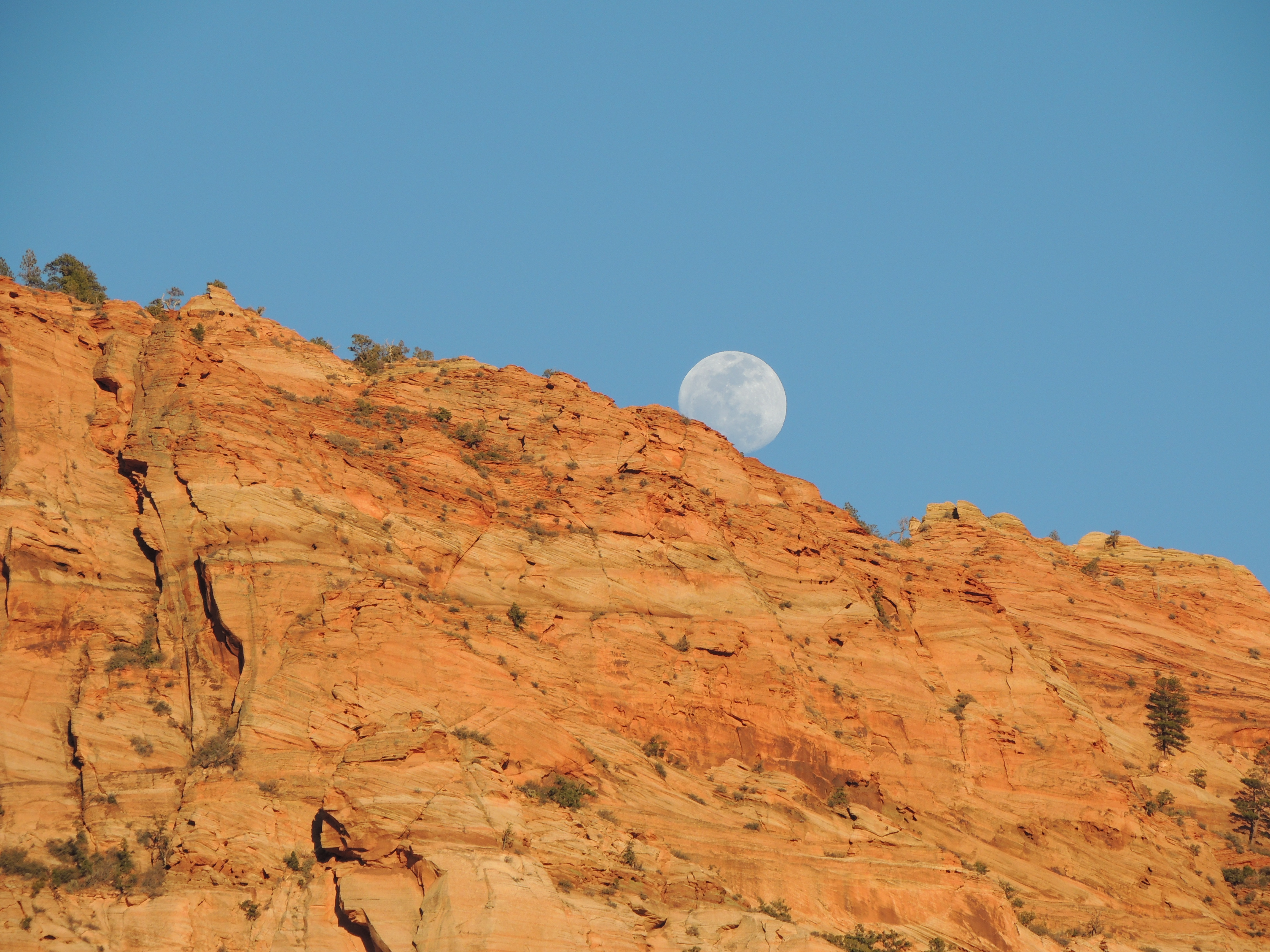
And of course, sunset and sunrise:

The hike out was hard, but – as is usually the case – not as hard as I feared.
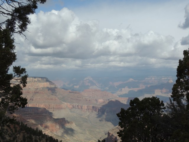
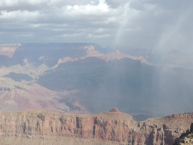
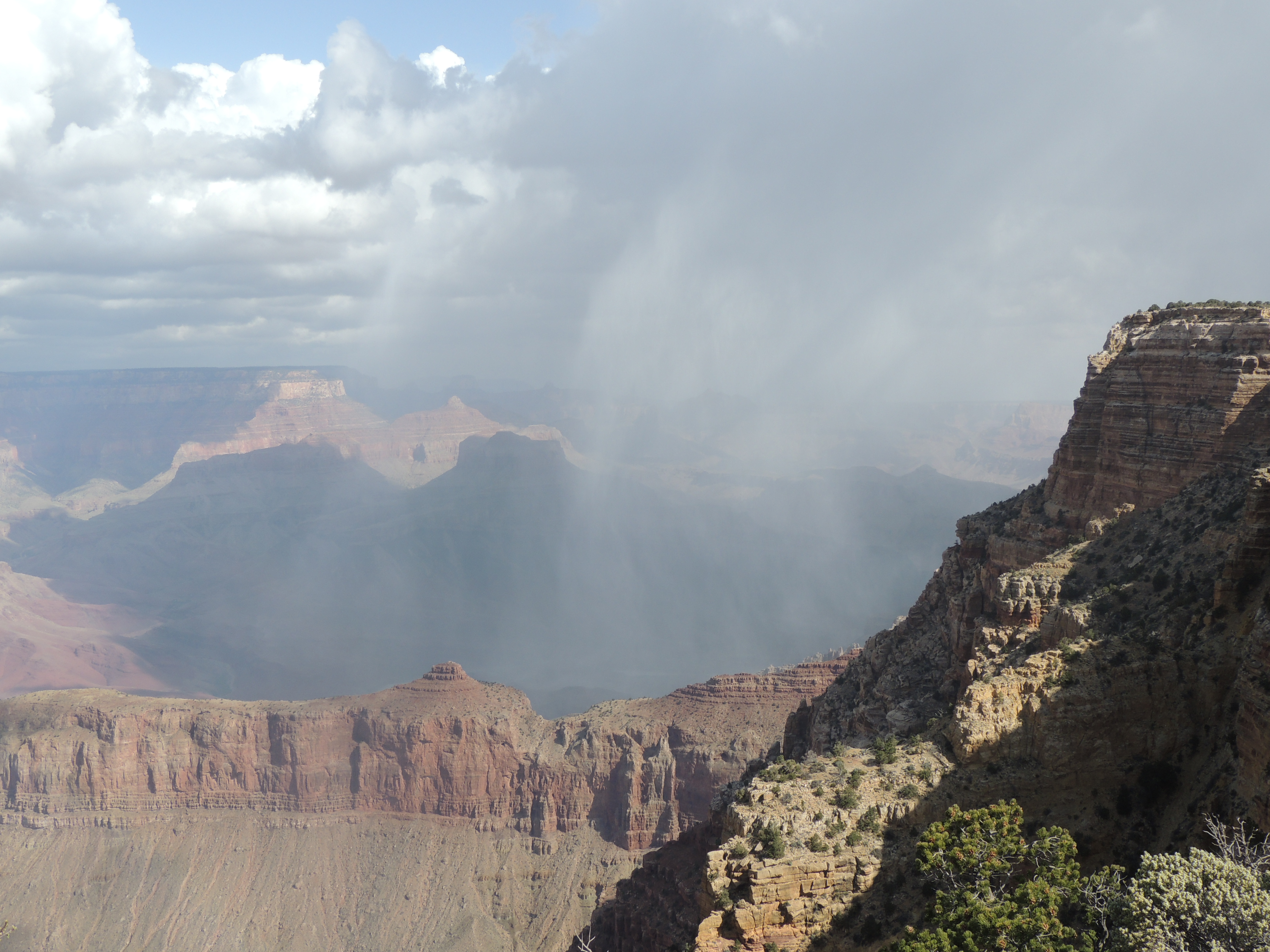
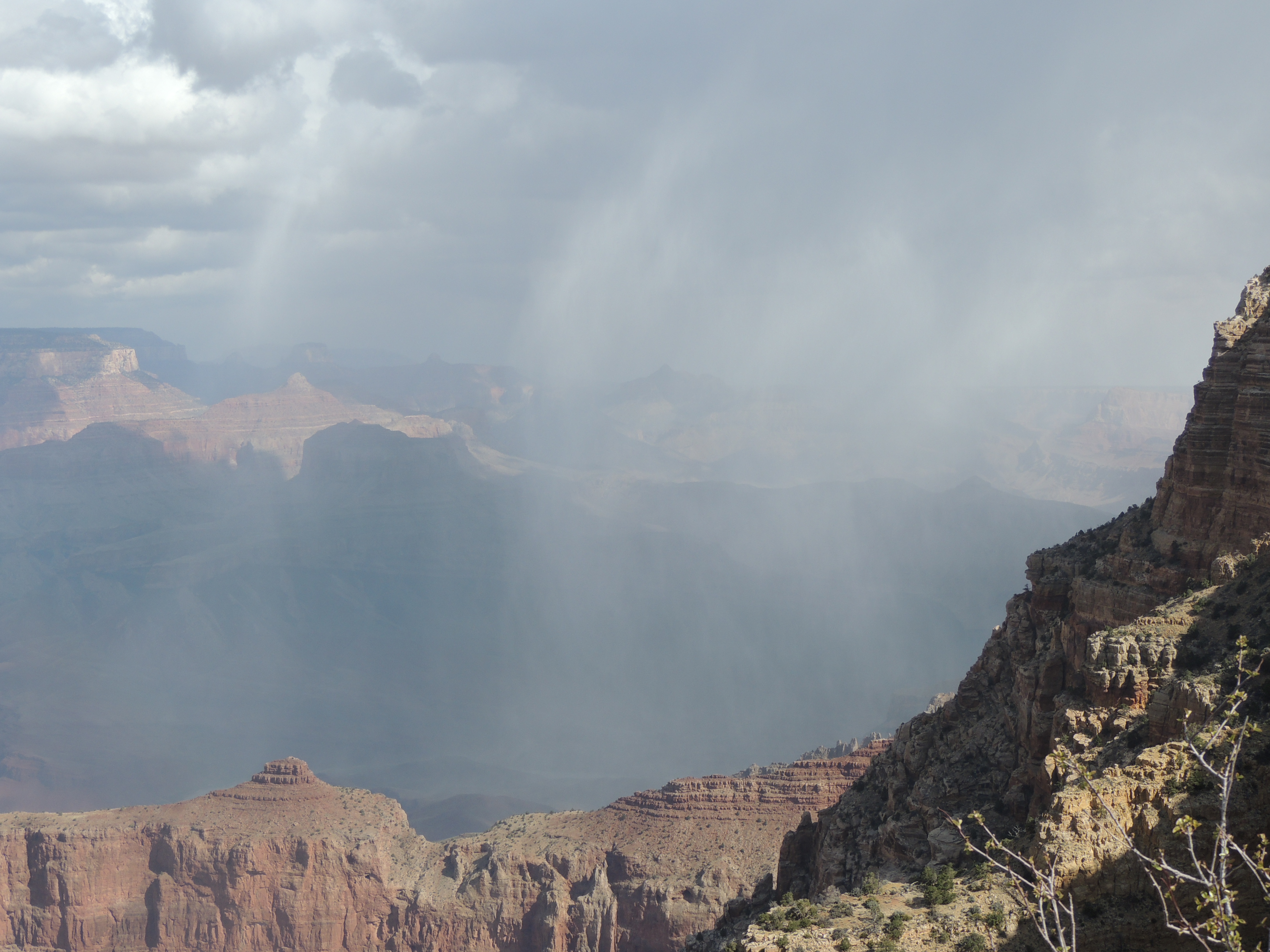
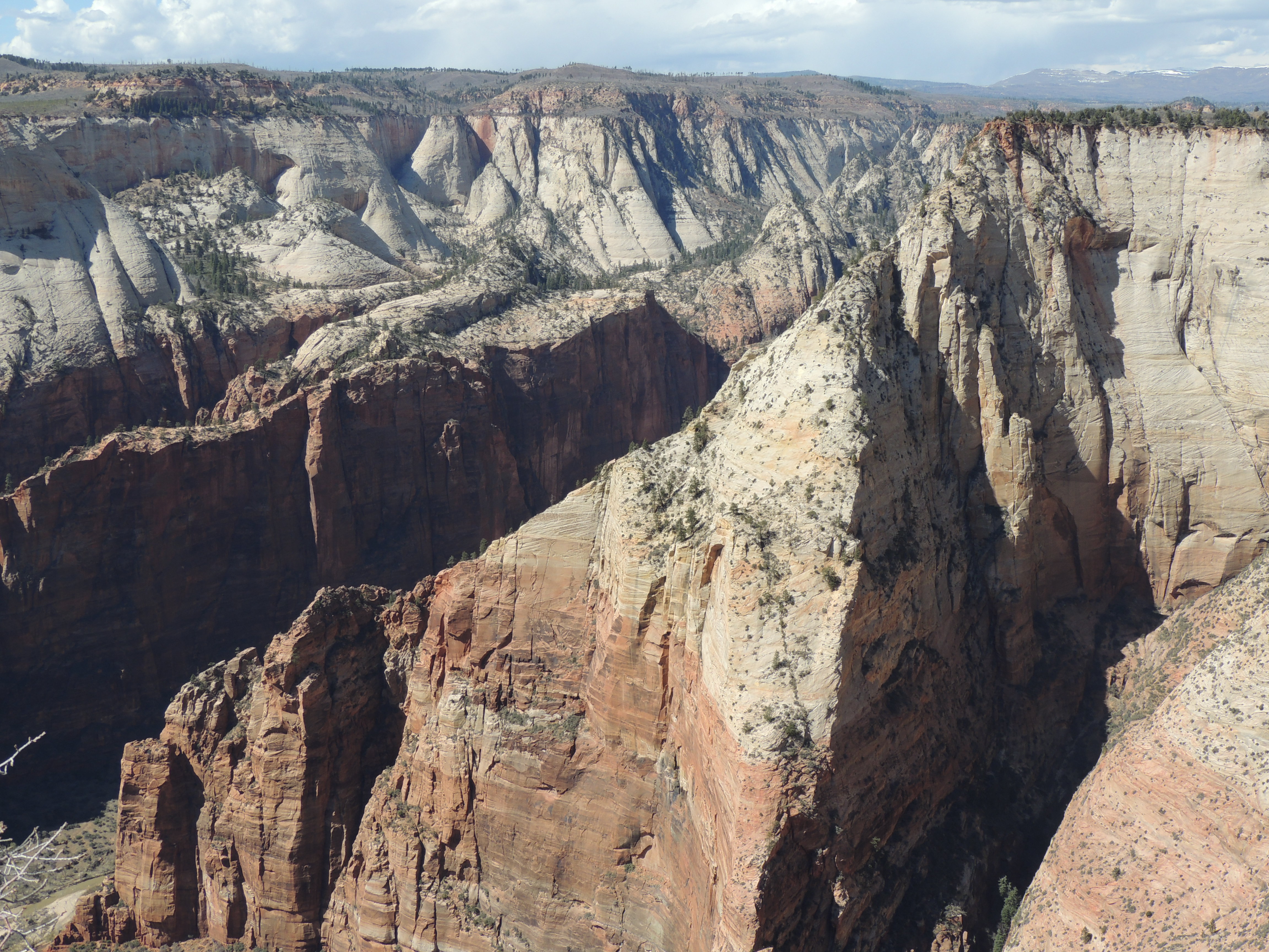
The next day the weather changed, and the views of the canyon with it. These are my favorite pictures of the canyon, but I’m glad that I wasn’t hiking through that barrage of sleet and hail and snow!