Carriacou. Life is a mystery, a challenge, an adventure, a song…

The winter solstice is nearly here, and  I’m working hard at embracing the beauty of cold and darkness. Nonetheless,  it’s hard not to think about warmth and sunshine.  Carriacou, West Indies.  Yes, Carriacou does pretty much look just like a perfect postcard of  sun and sand.   But the sentiment on this little house represents what I really love about Carriacou:

That about sums it up, doesn’t it?  This is a variation on a quote from Mother Teresa, but Mother Teresa added a directive to each observation:  “Life is beautiful: Admire It.”  I like the way this fellow just puts the observations out there and lets us decide what to do with them.    The only time I saw the owner of this house, he was busy washing his hair in the yard, and I was too shy to talk to him.  But I think he’s wonderful.

More of my favorite Carriacou spots:

Butterfly Bar

Rotis at the Butterfly Bar

And the Butterfly Bar menu

Good to Go Takeout. Excellent Chicken.

Liquor Store: License to Sell Intoxicated Liquor

Paradise Beach

Buying fish in Hillsborough

The empty side of the island. Petite Martinique in background.

Anse La Roche beach. Union Island in background.

Posted in Adventure, Caribbean, Food, Photography, Travel | Tagged , , , , , , | 5 Comments

Two Montana lookout towers

Ever thought about what it would be like to be on top of a mountain in a lookout tower in a thunderstorm?

Our first visit to McCart Lookout, near Sula, Montana, was in late June, which is thunderstorm season in Montana.  It’s a pretty easy 1 1/2 mile hike from the car to the lookout, so it’s a great trip to bring all the heavy goodies that you normally wouldn’t want to lug on a backpack:  wine, brie, fresh fruit, your nice pillow.   (And of course, if you have a sherpa-husband like I do, you can really go wild!)     When we started out in the afternoon it was a lovely summer day, with not a cloud in sight.  We arrived at the lookout in late afternoon,  and spent a little time settling in.   The lookout has been renovated so that it looks the way it would have looked when it was used in the 30’s, and it’s delightful.

By evening huge thunderclouds were building, and I interrupted my reading of the lookout journal and switched to the directions for what we were supposed to do in a lightning storm.   The advice to NOT TOUCH METAL  and SIT IN THE MIDDLE OF THE BED while NOT TOUCHING ANY METAL was not particularly reassuring, but Bill assured me that the lookout was nicely grounded with a lightning rod, so we’d be fine.   And, indeed, we were.  As the night progressed we were surrounded by thunder and lightning, but none of the storms actually passed directly over us.     The wind howled all night, the lookout shook, and the lightning was spectacular, but nothing too frightening.    I just wish we’d managed to get some pictures of some of that stupendous lightning.  Anyone out there in blog-land have good stories about lightning storms in a lookout?  I’d love to hear them.  Or, tales from other lookouts, as well!

Medicine Point lookout is across the valley from McCart, and is a more difficult hike in.   It’s only about a 3 mile hike, but I think it gains a few thousand feet over those three miles, which is fairly steep.  And, although there is a spring near Medicine Point, it’s not too easy to find, and not especially reliable.  (In case you want to go, we took a picture of the directions to the spring, which I’ve posted below.)  But, because the lookout is higher than McCart, the views are just amazing, and the sunsets can be beyond belief.  Here are some photos of both McCart and Medicine Point lookouts, as well as the gorgeous views from Medicine Point:

Posted in Adventure, Camping, Hiking, Montana, Outdoors, Travel | Tagged , , , , , , , | 1 Comment

A little cabin in the big snowy woods

Hogan Cabin, near Wisdom, Montana.

On  a cold and snowy Friday morning last January, Bill and I headed toward Chief Joseph Pass in southwestern Montana to spend the weekend at the Hogan Forest Service Cabin.  Our plan was to ski in on the 3-mile Shoofly Trail.    At the trailhead we piled on our winter layers, struggled into our backpacks, and clicked on our skis.  We had everything we’d need for a cozy weekend in the cabin:  warm clothes, our sleeping bags, steaks, bacon, eggs, jambalaya mix, bagged salad, plenty of snacks, coffee, and bourbon as a nice reward after our ski.   We headed off, following blazes on trees.   After about 10 minutes of skiing, we couldn’t find any more blazes.    We knew the general direction we should be going, but the gully we were following went straight uphill, and the going was pretty rough with our fully-loaded packs.  I’m just not a fan of sliding backwards on a steep slope with 3o pounds on my back.    And not having the reassurance of the blazes so that I knew we were at least making progress was making me pretty crabby.  After about a half hour of struggling through the snow, I suggested that we give up on this shorter route, and head back down the road to the six-mile long route that, although longer, was a pretty gradual climb.

So, we headed back to the car, unloaded, drove a few miles down the road, parked, and loaded up again.  This time, though, the going was definitely easier, the snow was deep and soft, and it was turning into a beautiful day.  Six miles on skis with a loaded pack is pretty long for me, and by the last mile, I was absolutely ready for the cabin to show up.  Dusk was settling in when we finally saw it – looking very tiny and far away as far as I was concerned.  That last 45 minutes seemed pretty long, but arriving at the picture perfect Hogan Cabin made it all worthwhile.

Isn’t that a pretty scene?

We managed to get a fire going in the wood stove, and three hours later the cabin had actually warmed up enough so that we could take off our coats.  The cabin is a plenty big for two people for a couple of nights, but it would be a little cozy for four, I think:

The pull-down table seems like a good idea, but it makes it awfully hard to get in and out of the beds!

By the middle of the night we were so hot we had to open the door, so the stove worked just fine.  The next day we took a nice long ski, going almost as far as the Chief Joseph cross country ski area.  It was a great route:  gradually uphill on the way out, and then a nice long downhill at the end of the day.   It started snowing on our way back, and the snow continued all night.  The cabin at night was beautiful:

It was still snowing the next morning, and we had coffee and eggs and fried potatoes in the now super-warm cabin while watching the big flakes pile up.  We had to break trail through deep snow on the way out,  and we were both ready to take off our skis and warm up the car at the end of the trail.

The end of two perfect snow days

Posted in Adventure, Hiking, Montana, Outdoors, Travel | Tagged , , , , , , , | 14 Comments

Coyote Gulch: Truly memorable.

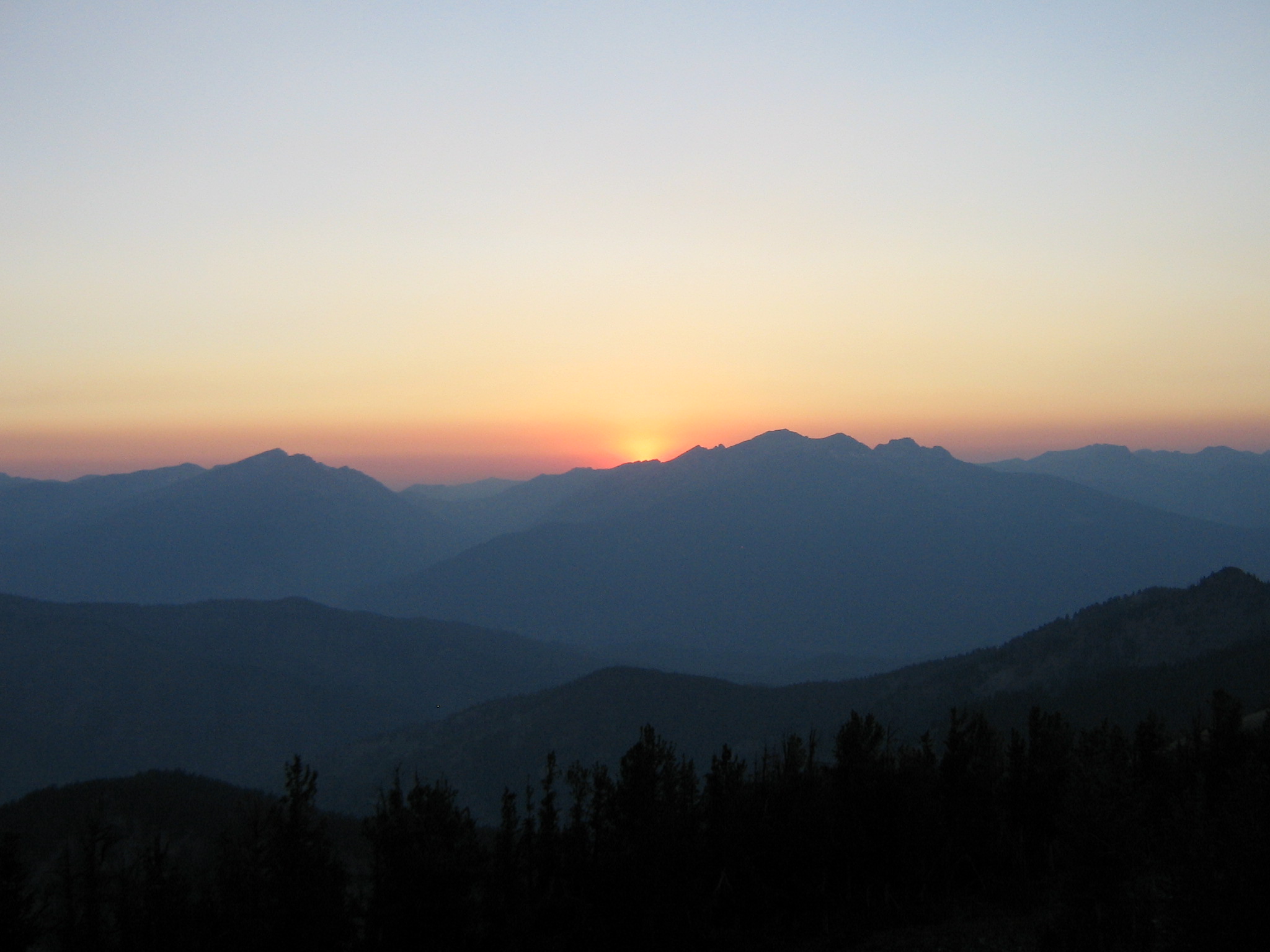
Coyote Gulch, near Escalante, Utah.    A stunning 4 day backpack that Bill and I took in May, 2007.

Tiny person. Big canyon.

We started at the Hurricane Wash trailhead, and hiked in about 5 miles to our first camp, near the confluence with Coyote Gulch.   (Another option is to start from the Jacob Hamblin Arch trailhead, and cut off about 6 miles of the hike, but you’re forced to go down some pretty scary steps to get into the Gulch, and I wasn’t up for that.  Bill would have done it in a heartbeat, of course.)   This part of the hike was in the bottom of the dry wash, so no wet feet yet.

Once we reached the confluence the next day, we were walking in the water.  I thought it would be annoying to have wet feet all day long, but it was actually quite pleasant.  Of course, the other pleasant thing about hiking down a canyon is that it’s just that – down.    Luxury.  And actually, coming back “up” is not that hard; I think you only lose about 1,000 feet over the approximately 13 miles it takes to get to the Escalante River.

(This is probably a good time for a disclaimer:  I’m not writing a hiking guide here, so please don’t use my blog that way!  These are my memories, so I can’t vouch for the absolute accuracy of things like distances and elevations.  But I do promise that I’ll at least be in the ballpark.)

Day two took us deeper into the Gulch, with red sandstone cliffs and many winding turns.  We went under Jacob Hamblin Arch – very impressive – and continued on past Coyote Natural Bridge.  Many lovely campsites along here, as well as great lunch spots.  We even found a spot with quicksand that was entertaining to play in.  We camped the second night just around the bend from Coyote Bridge.   We’d seen maybe three other hiking parties that day, which was pretty amazing, since I thought this would be a popular time of year.

Jacob Hamblin Arch

The third day we took a day hike from our camp down to the confluence with the Escalante, looking for pictographs along way.   They’re there, I know, but somehow we missed them.  Calls for a return trip.  The weather was perfect: temps in the 70s, sunny skies, and a cooling breeze.  Explored a number of pretty waterfalls on the way, and picnicked at a beautiful campspot about a 1/2 mile from the Escalante.  I highly recommend it.

Waterfall below Cliff Arch in Coyote Gulch

We returned to camp, and since we still had plenty of daylight, decided to move our camp up stream a bit, just to have a different camp experience.  We found a delightful spot, and lazed around that evening, enjoying our Mexican beans and rice, and the little bourbon we had left.

Camp on last night

A huge thunderclap jolted us from bed just before dawn the next morning, and minutes after that we heard the roar of water falling over the cliffs above us.   We crawled out and were stunned by huge waterfalls pouring off of the cliffs around us.  It wasn’t raining where we were, but there had clearly been thunderstorms upstream.  We made coffee, had breakfast, and then watched, amazed, as a small wall of dirty, debris filled water came tearing down the gulch.   A little flash flood, and a great example of why you don’t camp in the streambed in canyon country.

One of the newly-created waterfalls

I was a bit concerned about hiking out that morning, so we waited around for a while to be sure that the flood was finished.  After a couple of hours the water did subside a bit, so we headed out.  But I was nervous – sure we were going to be washed to oblivion –  until we hit the confluence with Hurricane Wash.    It was a long and hot 8 miles back to the Subaru, punctuated (punctured?) by the flat tire that greeted us when we finally saw the car.  Of course, having my trusty tire-changing partner with me, I merely needed to provide moral support, which I did very well.

Posted in Adventure, Camping, Hiking, Nature, Outdoors, Southwest hikes, Travel | Tagged , , , , , , | 1 Comment